
Wales

ECT Media
Podcast with Alan Radbourne and Jack Cosby (UKCEH)
Webinar featuring Jack Cosby & Alan Radbourne “The Plynlimon Research Catchment in mid-Wales”

Impacts
Scientific:
Effects of climate change & mitigation.
Policy:
Forest management for water quality & yield, & flood mitigation.
Maps showing the catchments (enlarge to view)
Figure 1 Plynlimon catchments showing the Severn and its tributaries (from North to South Hafren, Tanllwyth and Hore) and the Wye (Nant Iago, Gwy and Cyff). From Marc, & Robinson (2007).
Figure 2 The headwater catchments of the rivers Severn and Wye at Plynlimon, Wales. From Knapp et al., 2019. The image depicts the catchment and sub-catchment boundaries, as well as the gauging stations, and the weather stations.
Overview
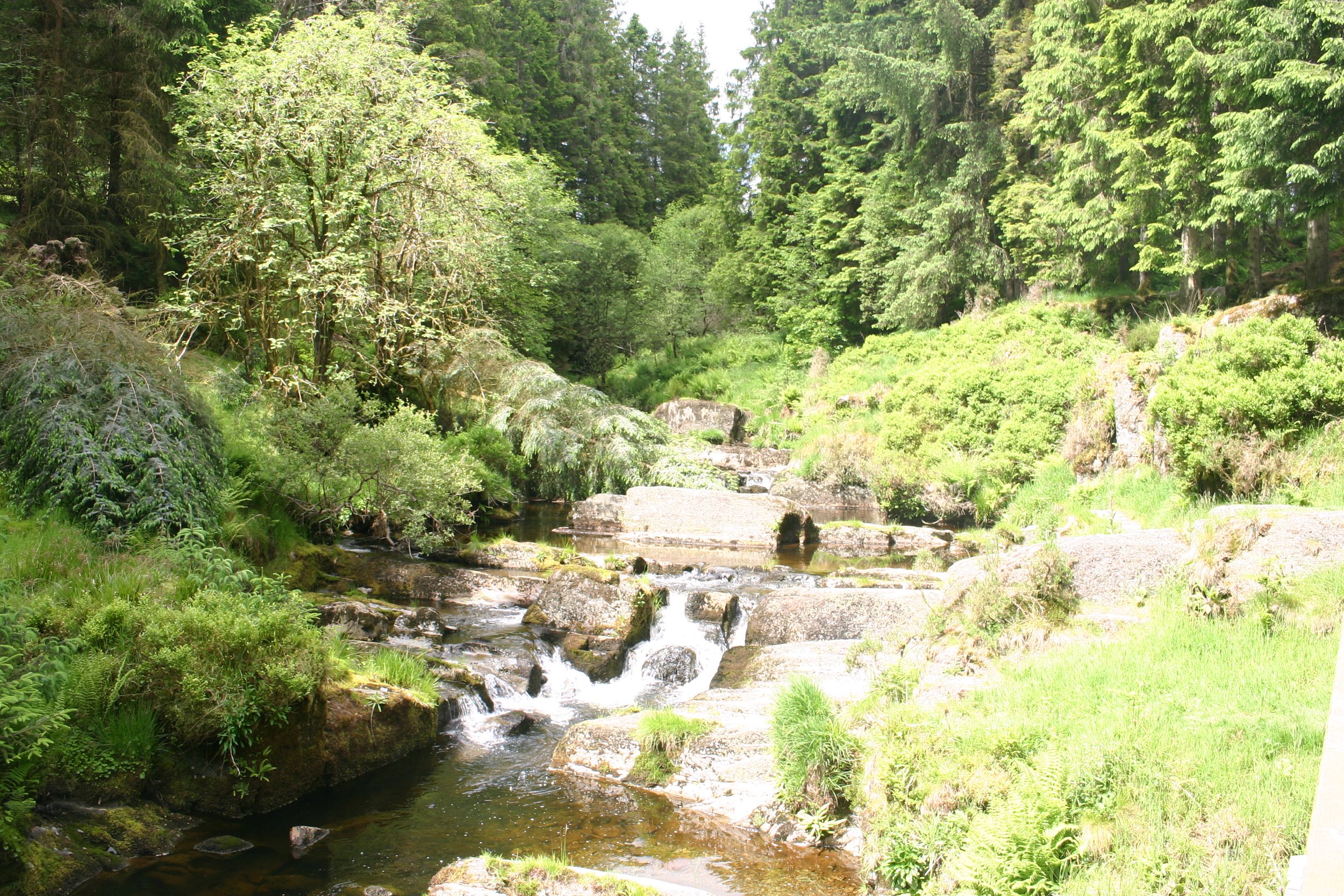
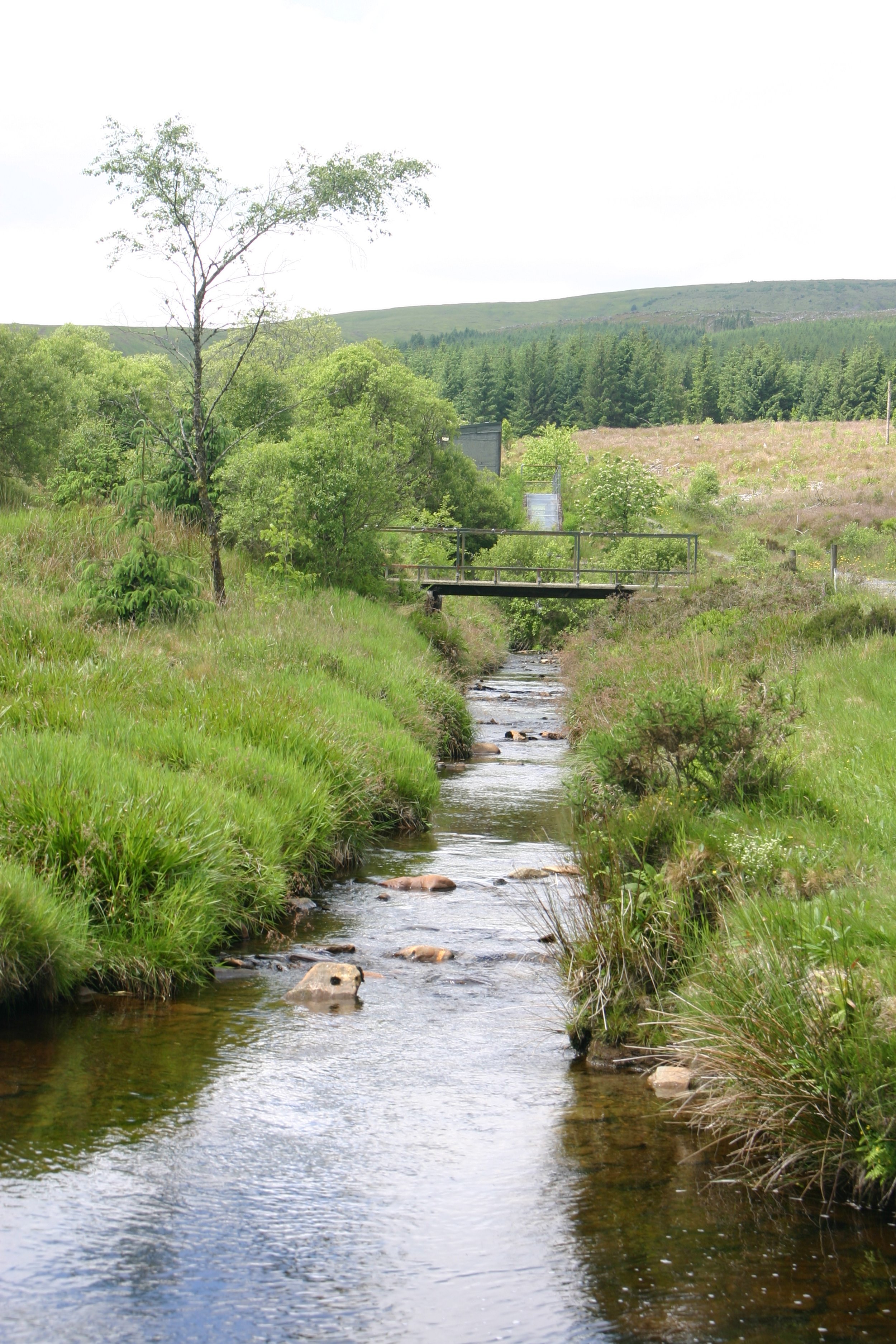
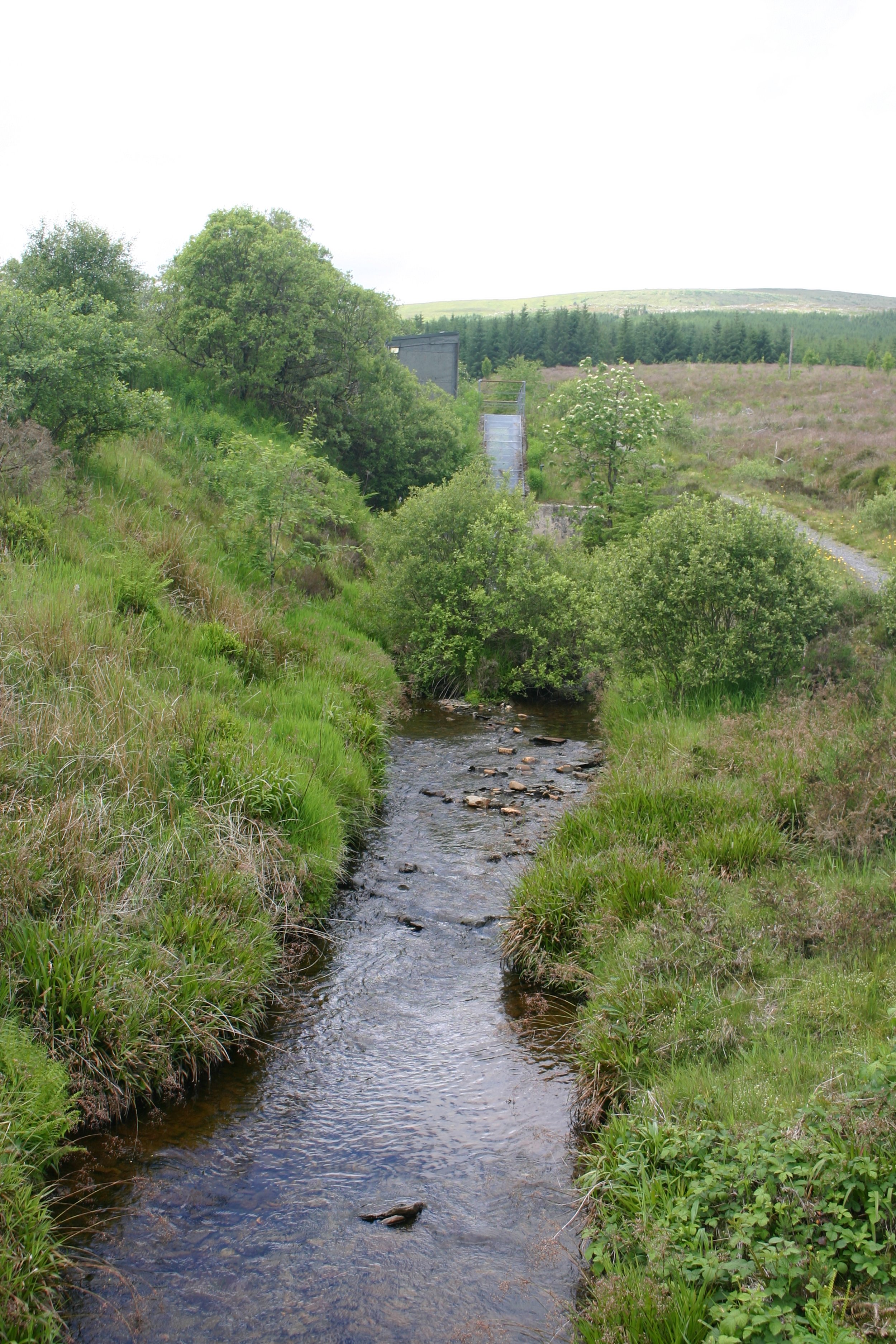
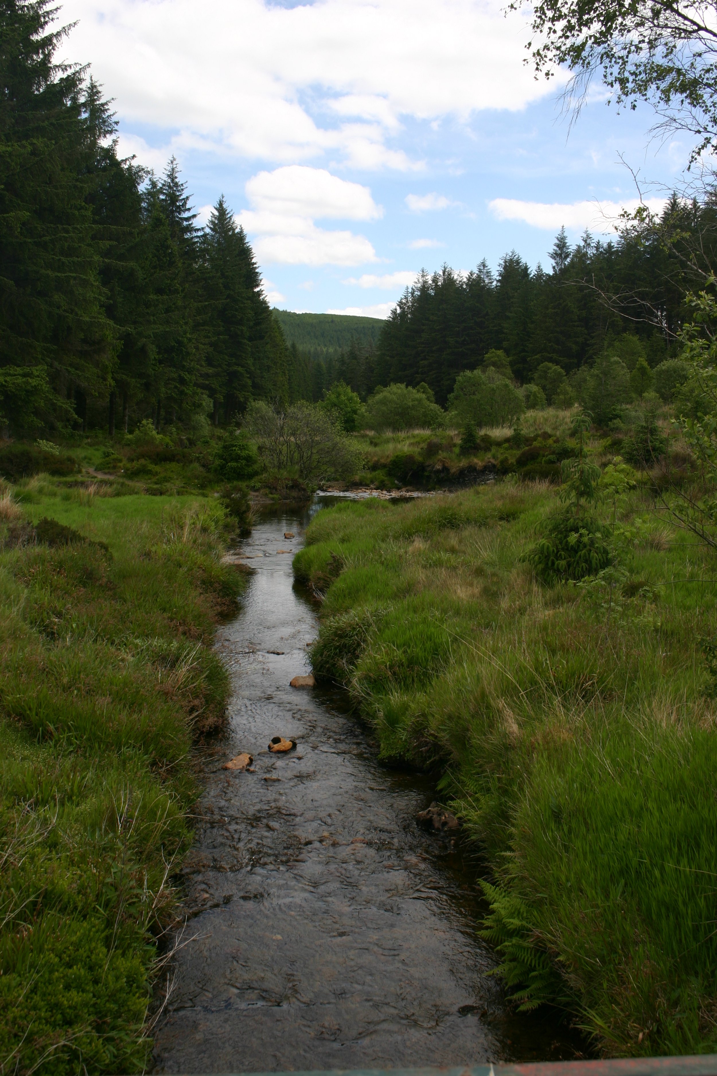
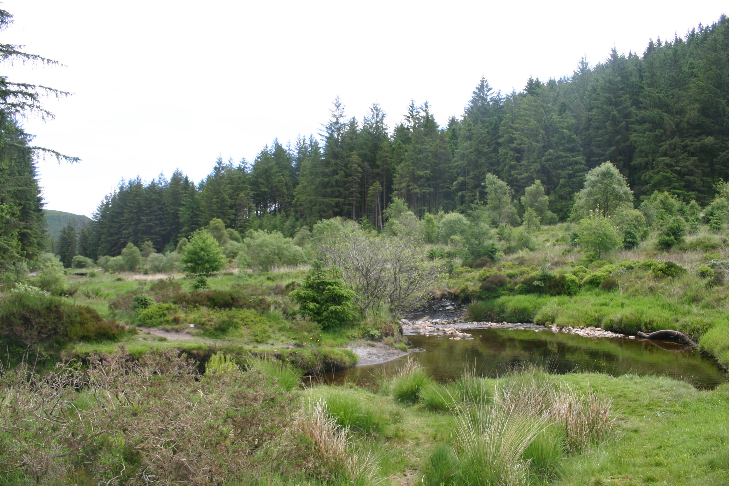
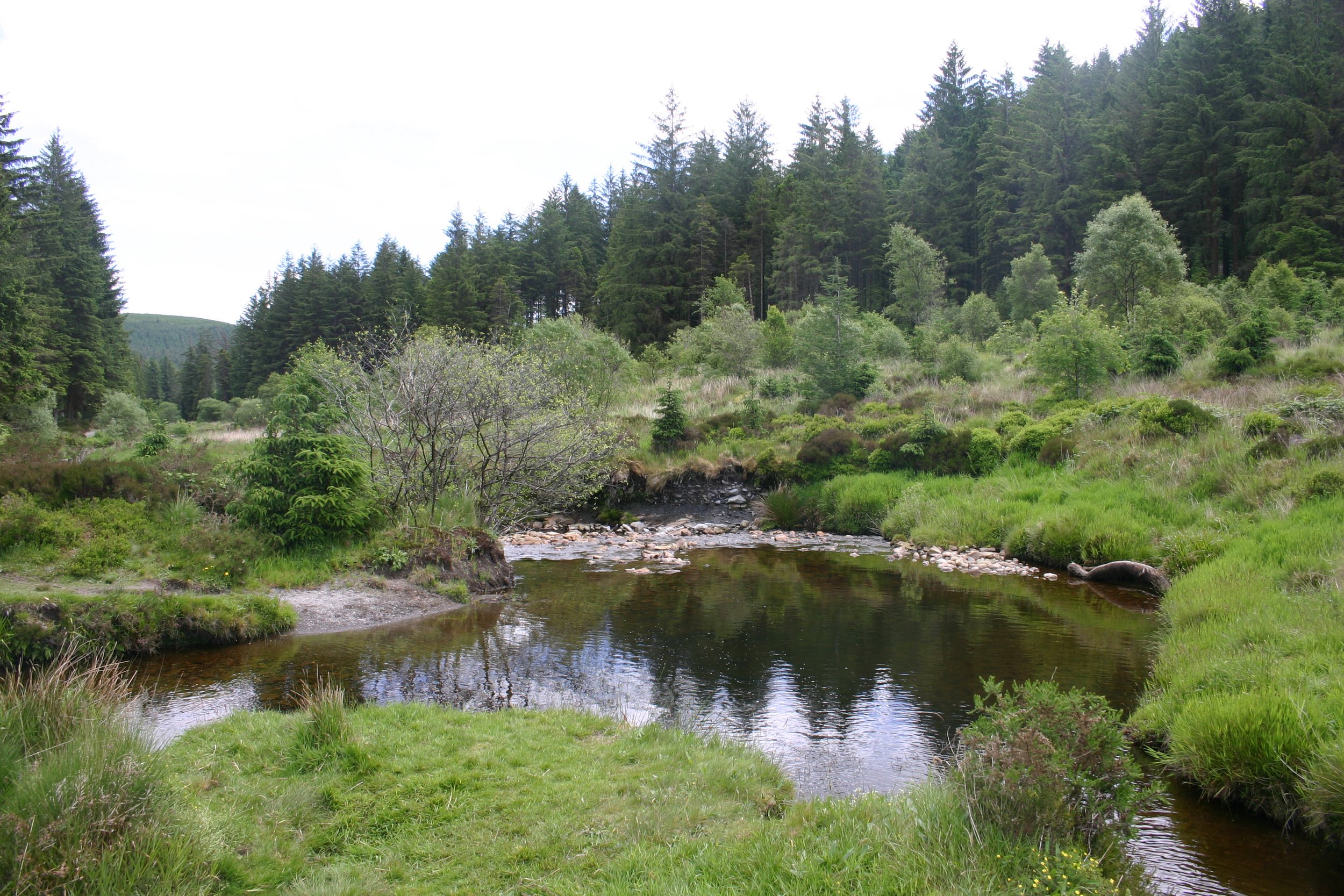
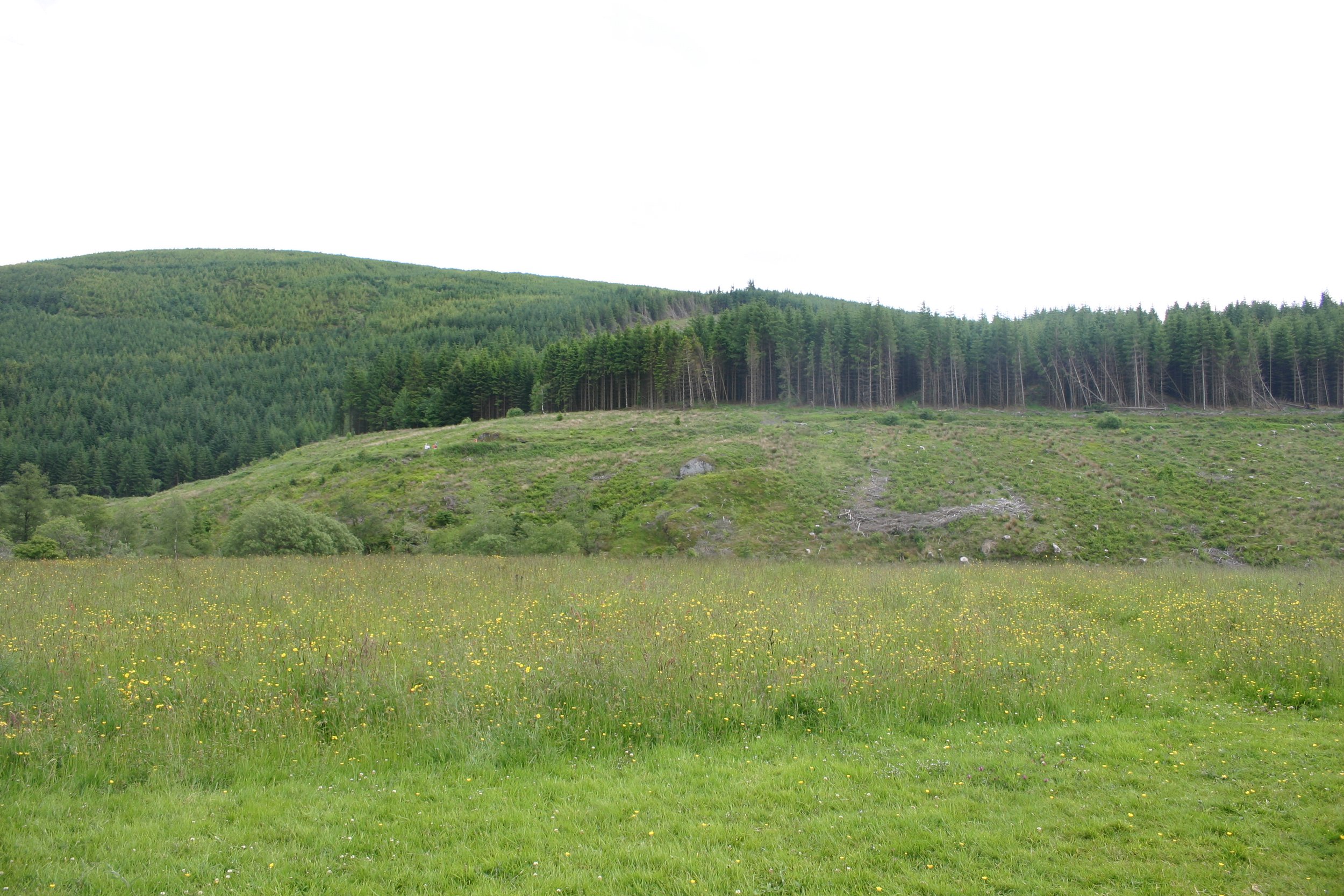
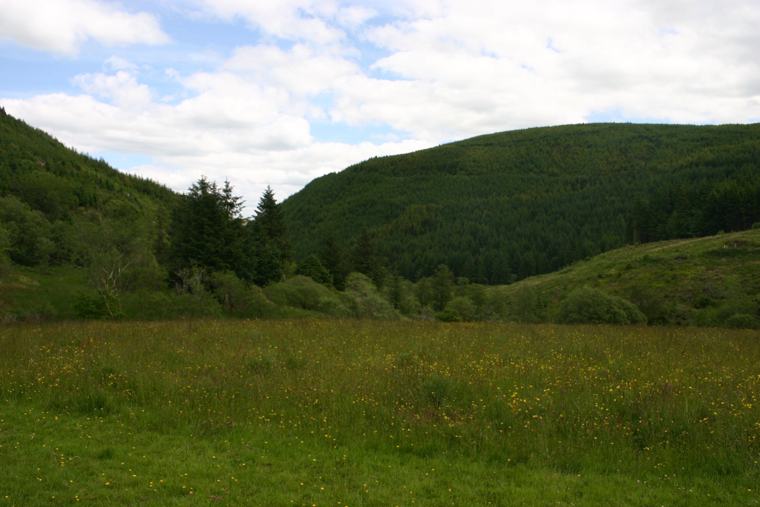
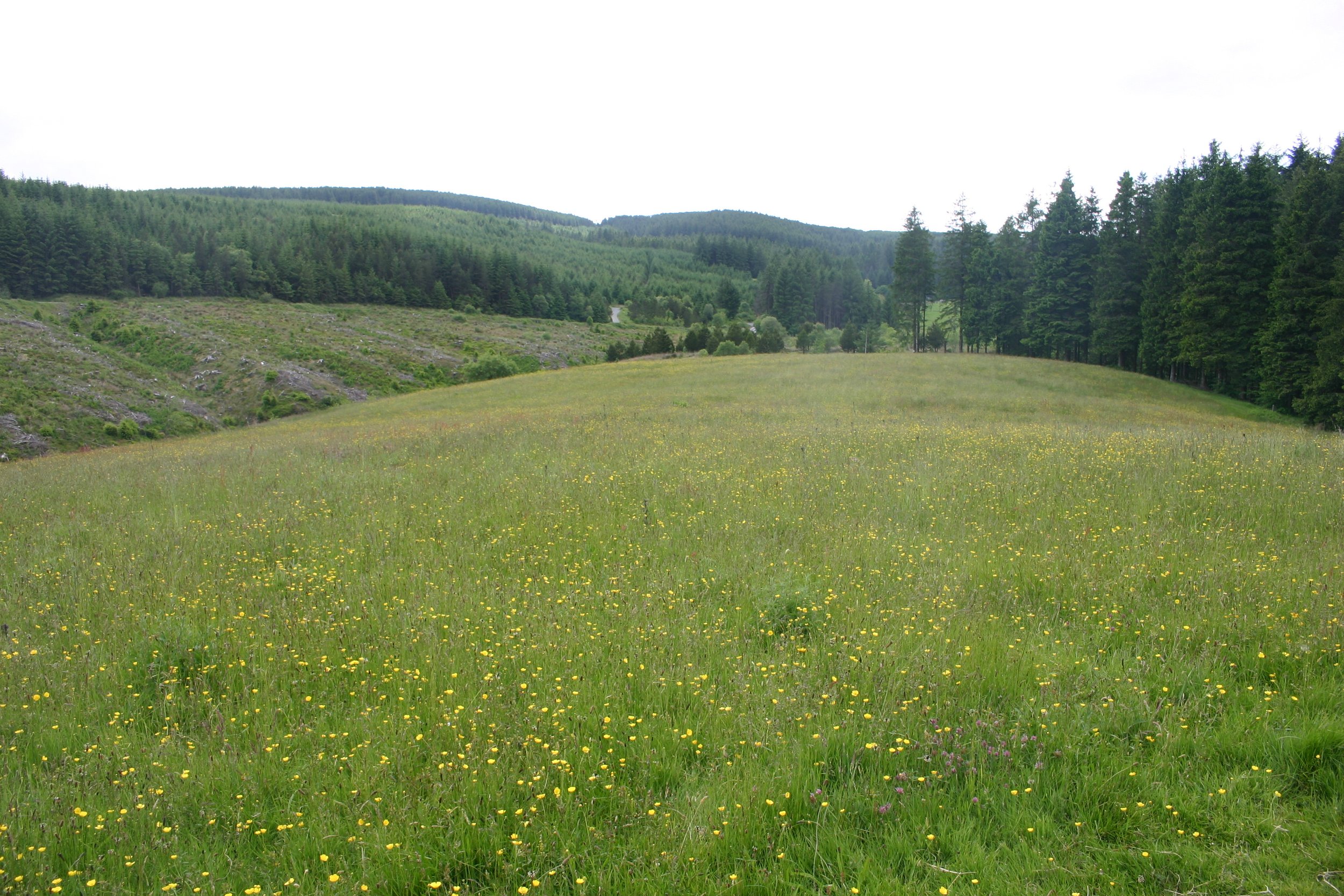
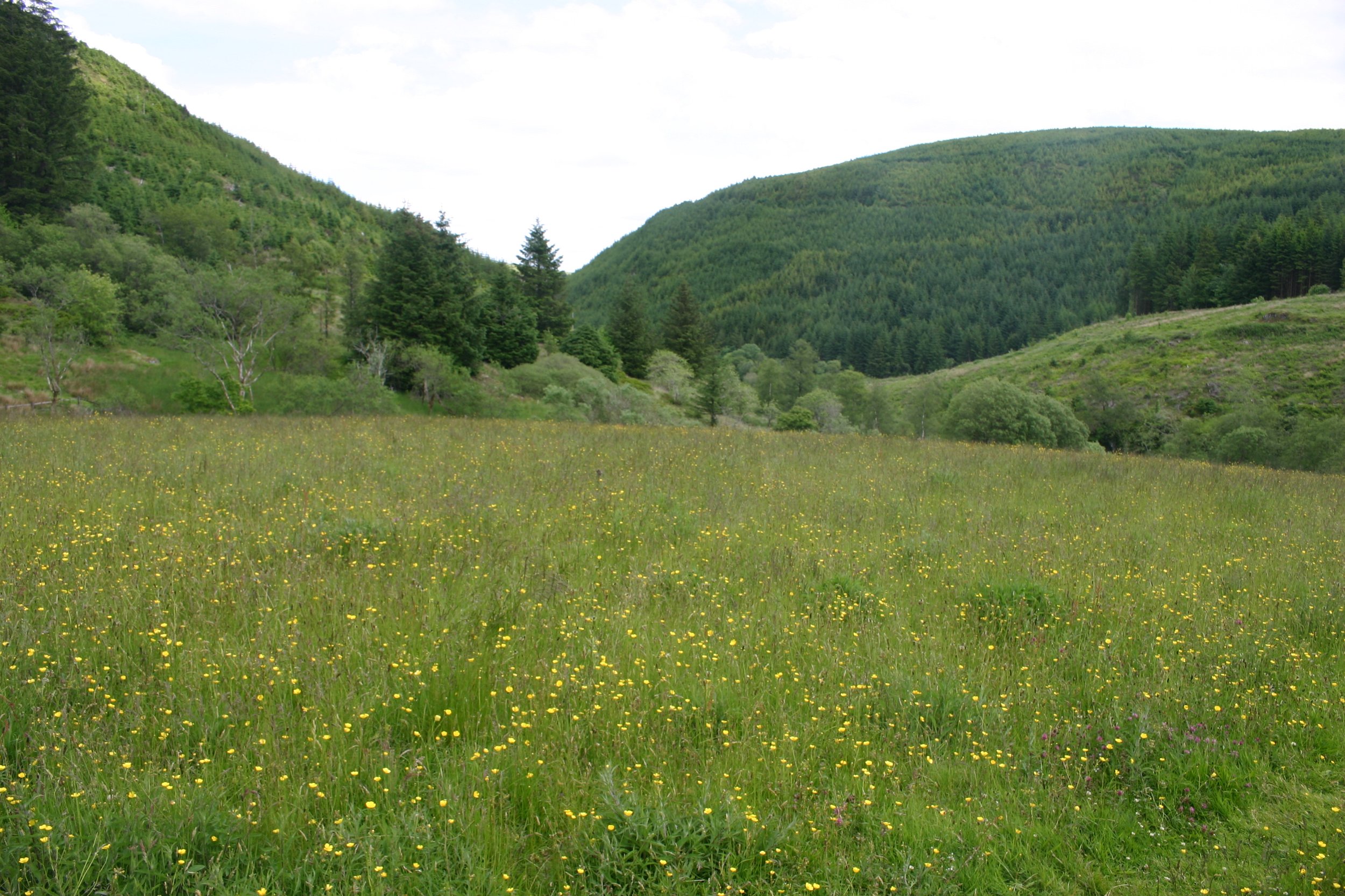
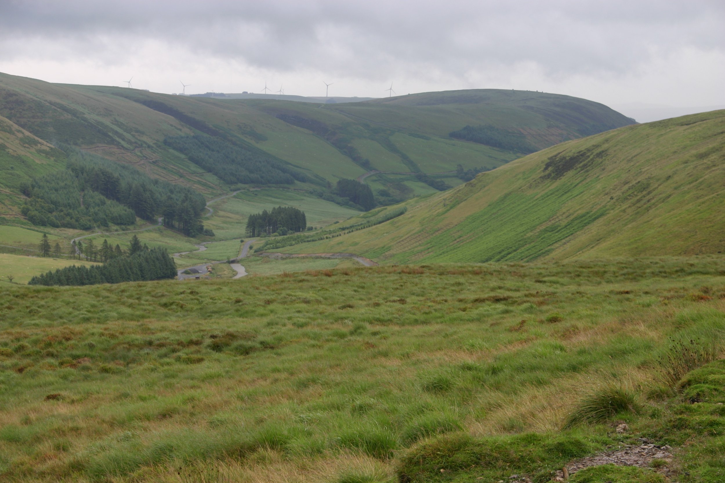
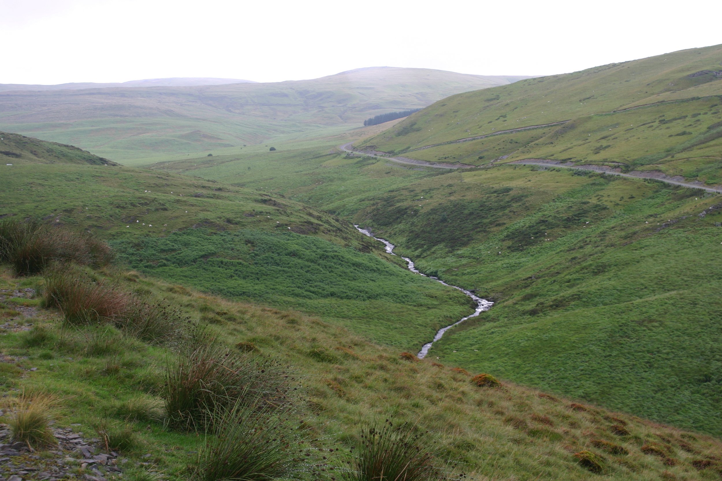
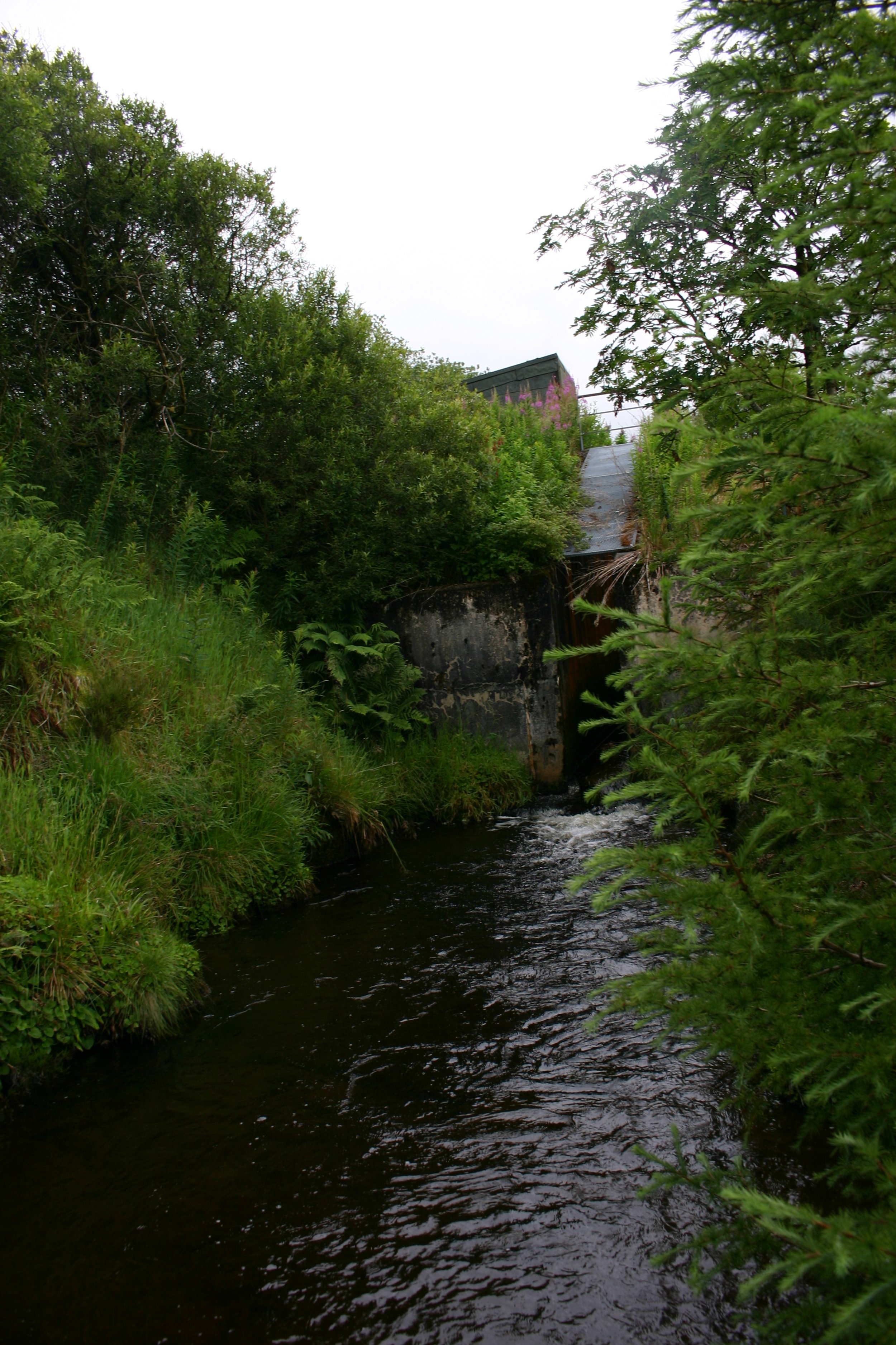
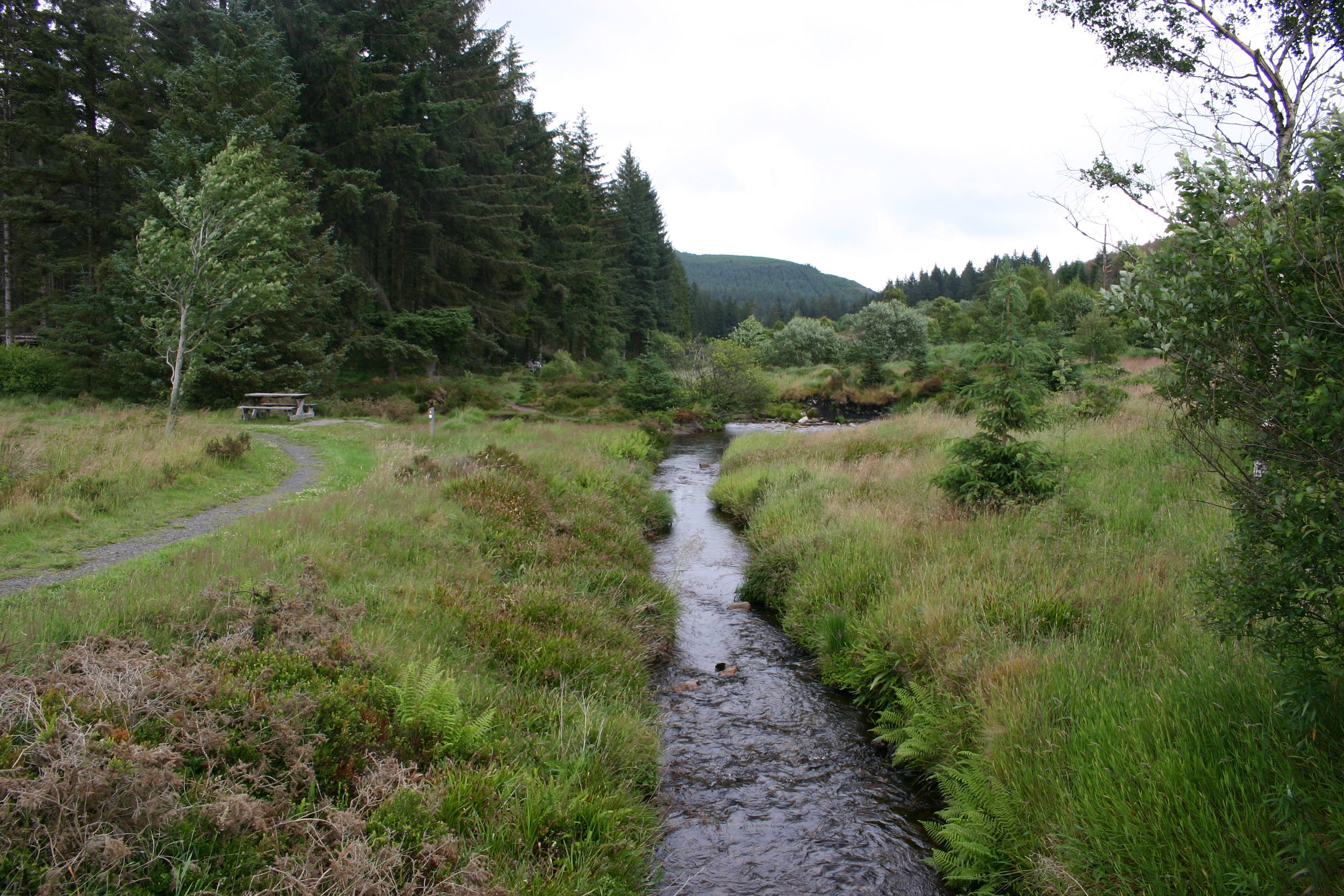
The Plynlimon Research Catchments (PRC) are located in upland Wales at the sources of the Rivers Severn and Wye, east of Plynlimon Fawr and 20km inland from Aberystwyth on the Welsh coast.
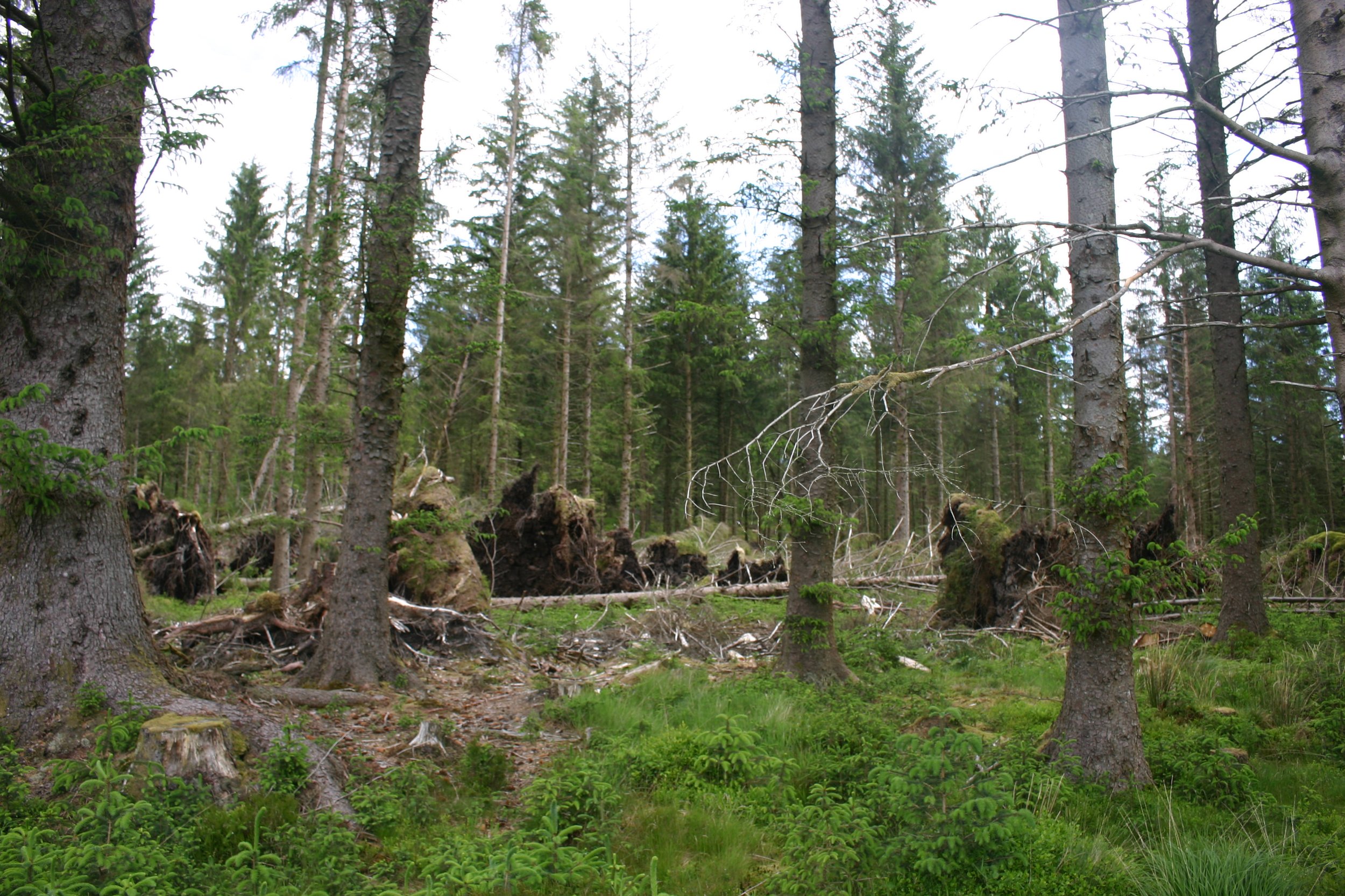
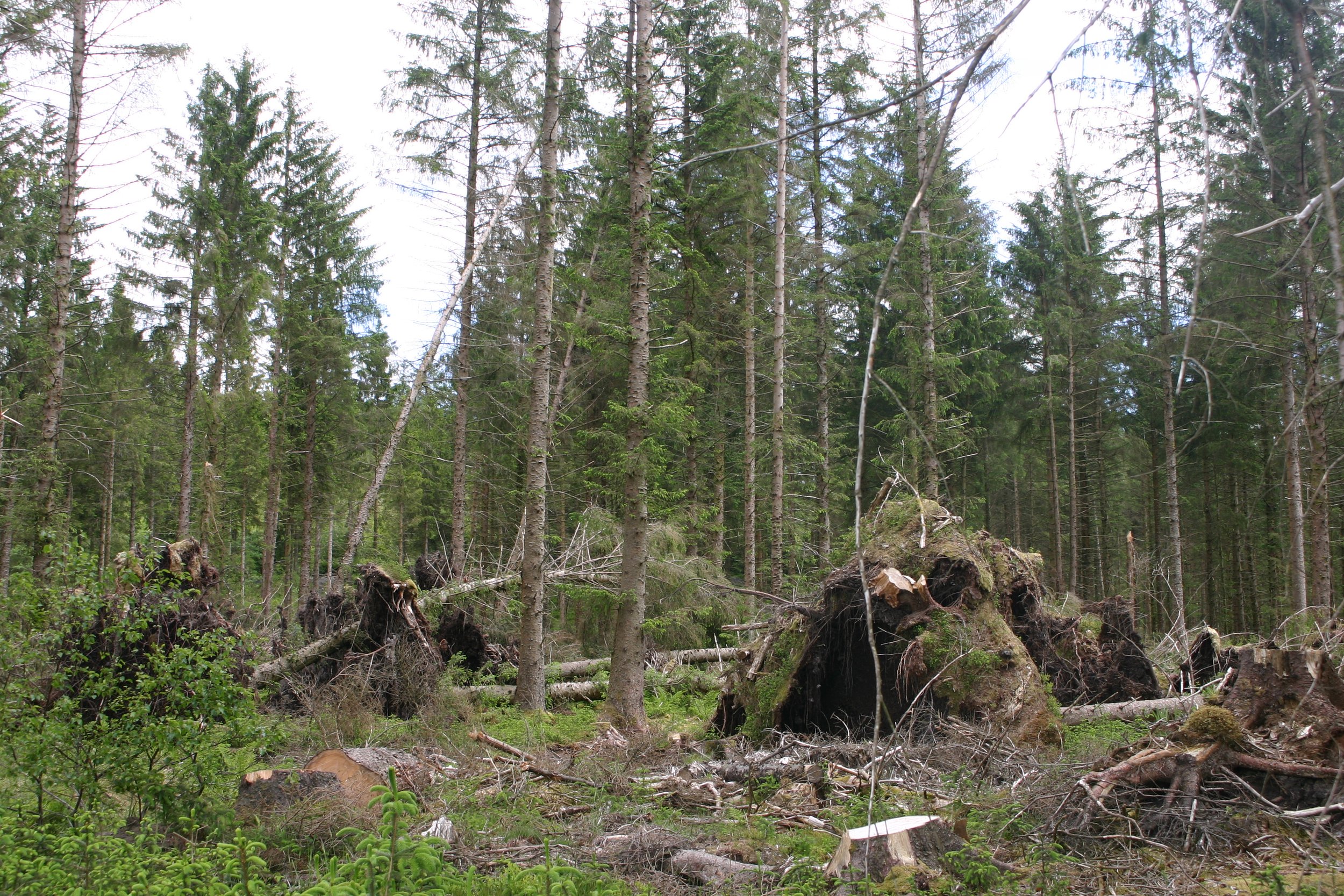
There are two adjacent catchments which are both acid grassland but have been used differently. The northern catchment comprises the River Severn source and is used as a forestry plantation, while the larger southern catchment is used for farming/grazing.
The original experiment set up in the late 1960s compared the hydrology between the two catchments, since land use affects water balance. Subsequently, the experiment has expanded to monitor hydrochemical and other parameters. This landscape-scale experiment pioneered the use of paired catchments, and it stimulated British research into the science of hydrology.
Experiment start date: 1967
Habitat type: Freshwater
Experiment type: Grazing and forestry
Site manager: Dr Jade Hatton, UKCEH
Site owner: Private owner and Natural Resources Wales (NRW)
Site size: Two catchment areas ranging between 5-182 hectares
Experiment conducted by: Dr Jade Hatton, UKCEH
Experiment goal: To compare how conifer forestry plantation and grazed moorland affects the water catchments.
Stakeholders: Natural Resources Wales, Defra, NERC, DURESS
Additional links: Plynlimon Research Catchments (UKCEH), Blog on Plynlimon, EIDC Plynlimon Research Data. Watch UKCEH’s video on Plynlimon and Conwy.
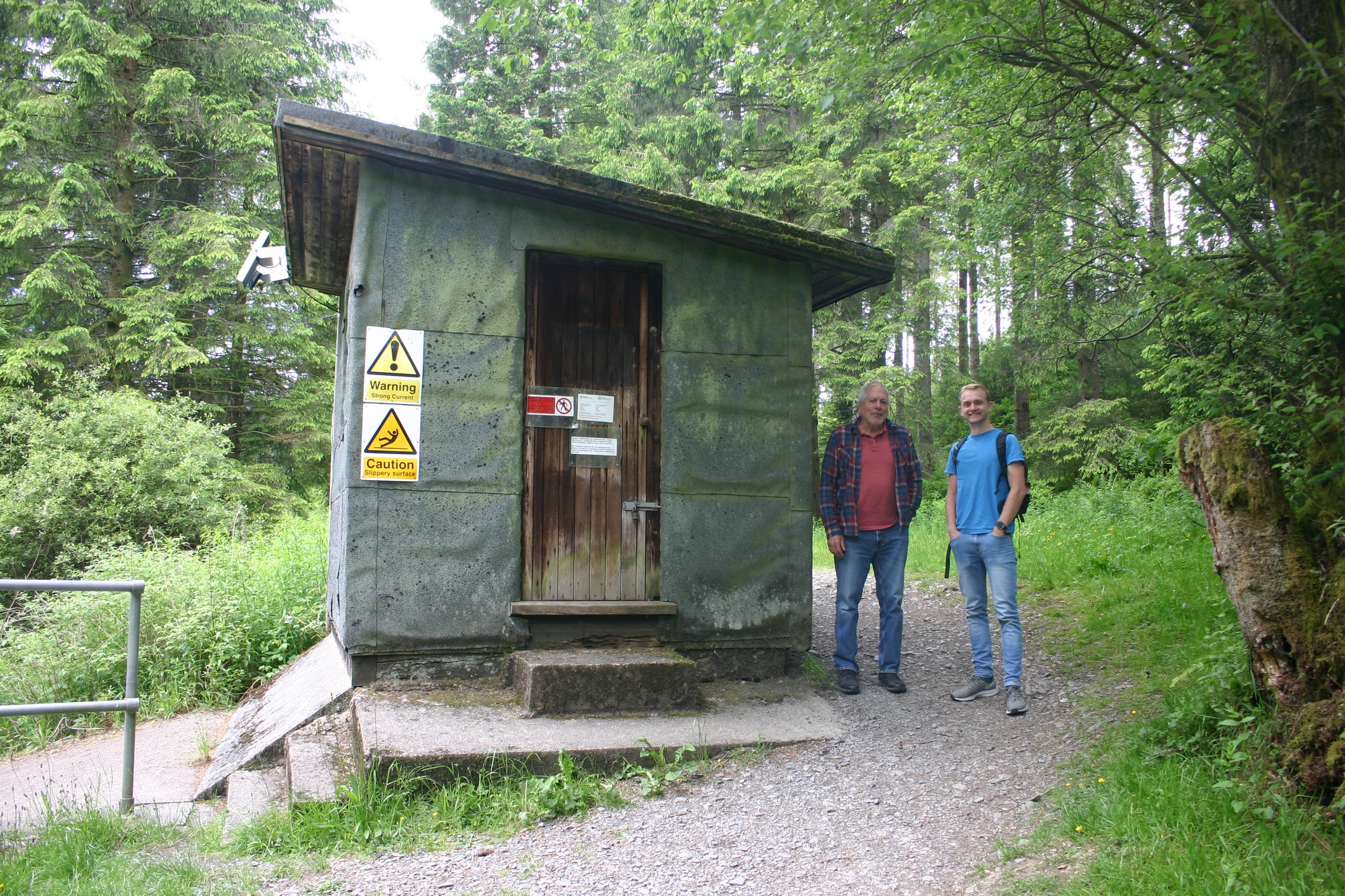
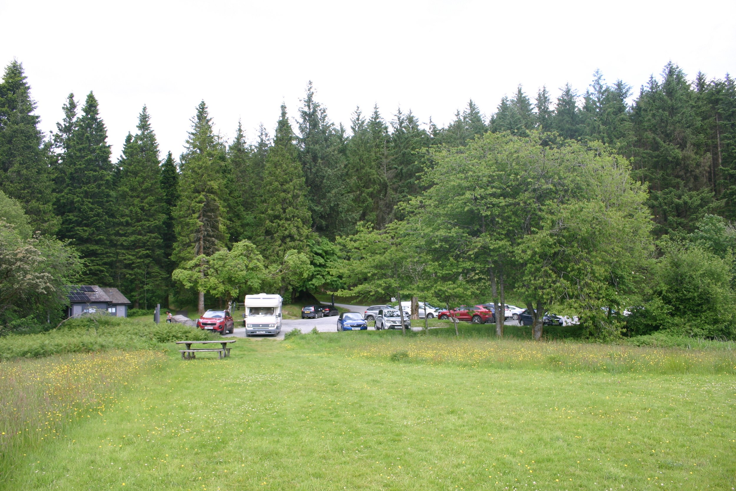
Visiting
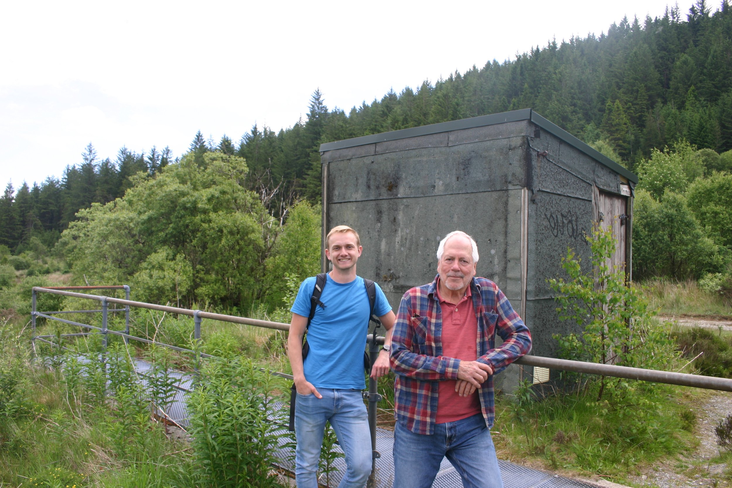
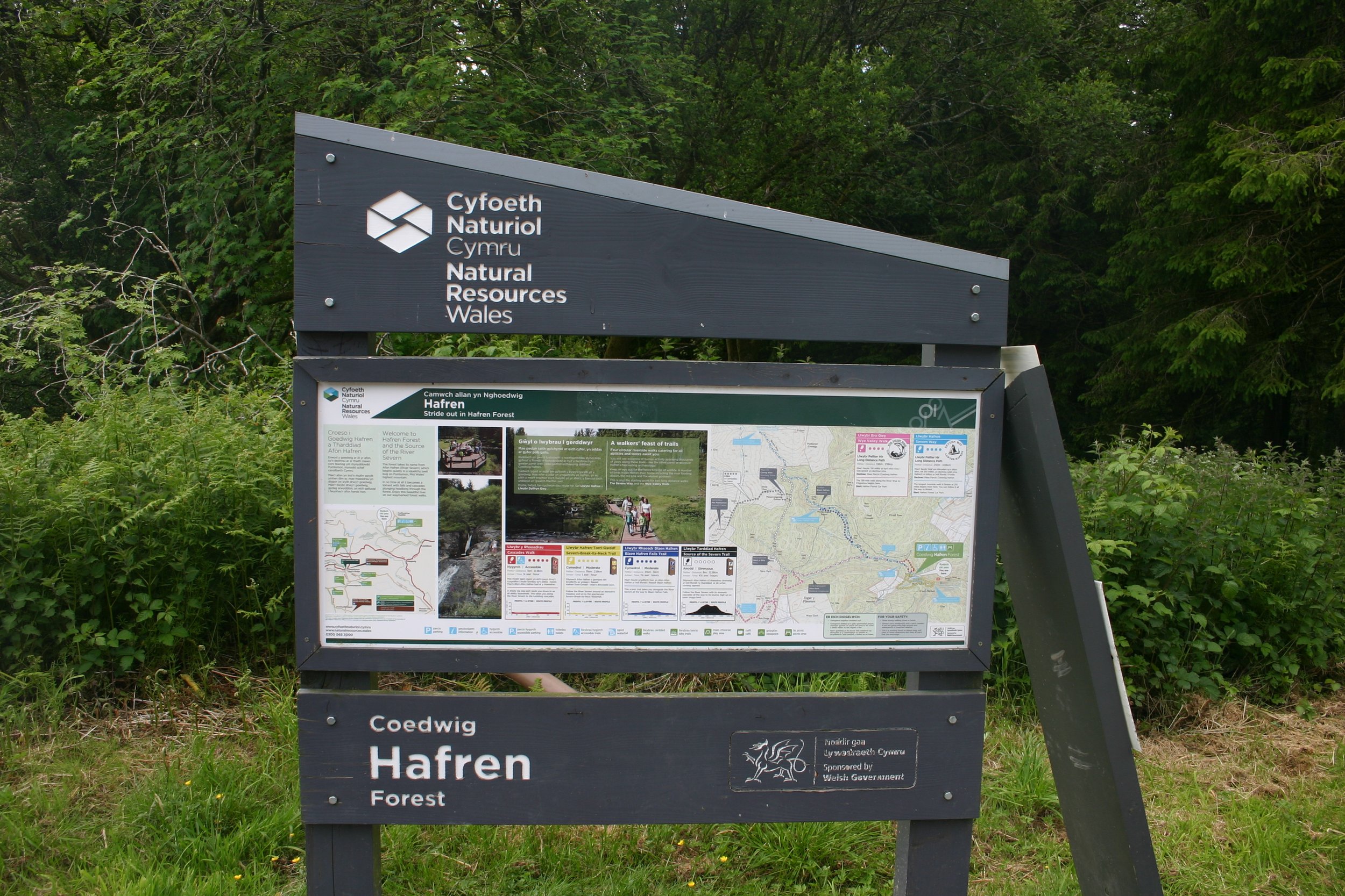
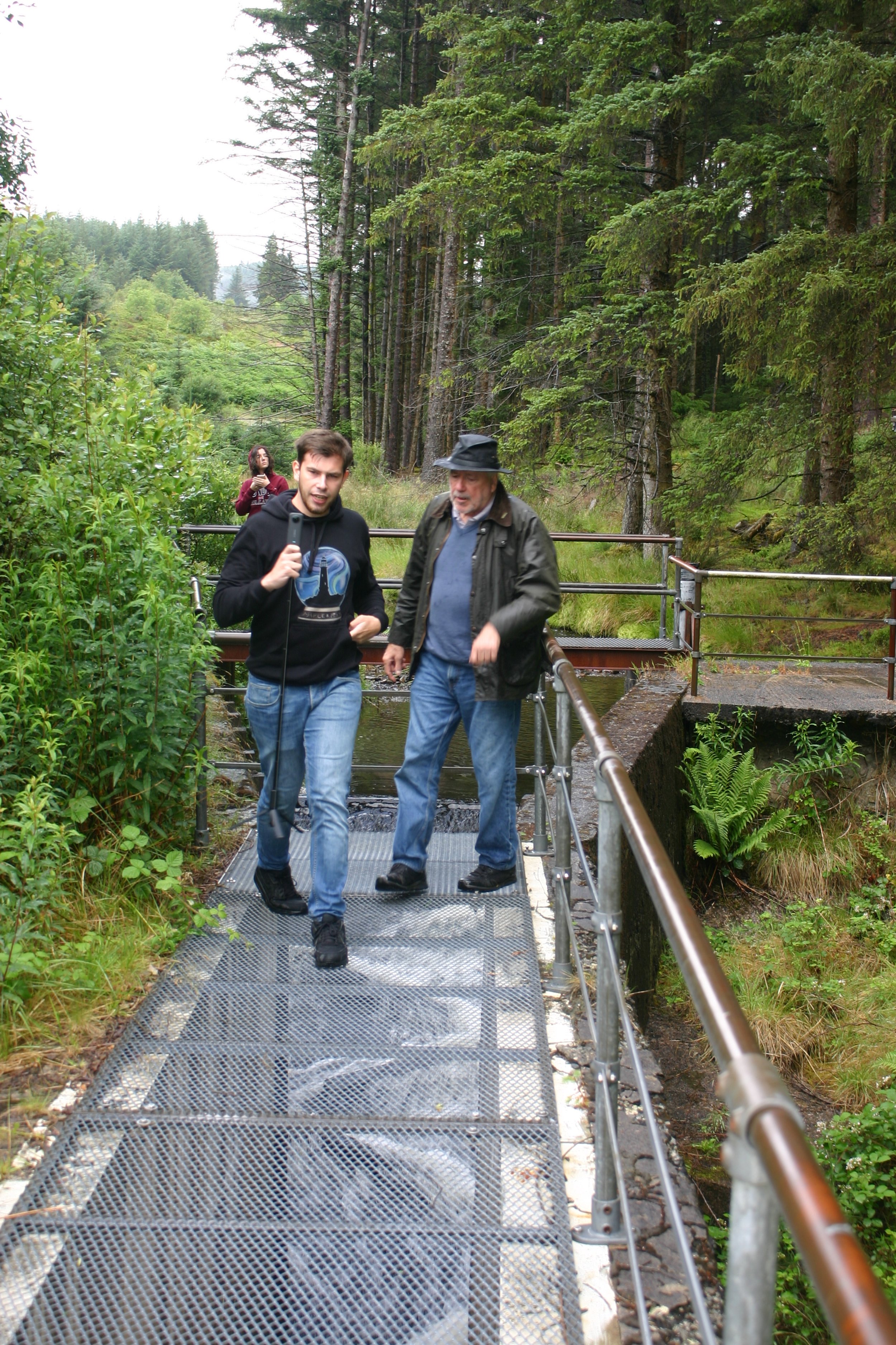
Only Hafren Forest can be visited, and has walking and cycling routes. For more information about the reservoir, visiting and facilities nearby see Natural Resources Wales: Hafren Forest.
About the experiment
-
After World War 2, there was an increasing concern of potential water shortages and availability. At the same time, there was also a concern of how forests impacted the surrounding hydrology as studies in America suggested tree cover could decrease water yield. When Frank Law Senior (water engineer with the Fylde Water Board) investigated the water balance of UK woodlands, he found that tree planting of the Stocks reservoir catchment in Lancashire significantly reduced water yields compared to grassland catchments. This stimulated debate particularly at a time of the severe drought in the summer of ‘59, and several years of dry winters.
In 1961, the Committee of Hydrological Research was created by the Department of the Science and Industrial Research to better understand the role of vegetation on the hydrological cycle. To investigate this, the committee subsequently suggested the creation of a special unit: the Hydrological Research Unit (HRU). Several locations were suggested, but Plynlimon was only suggested later and eventually selected because it was not a conservation site. The HRU was transferred to NERC in 1965 which had just formed, and the Plynlimon Research Catchment experiment began on New Year’s Day in 1967.
-
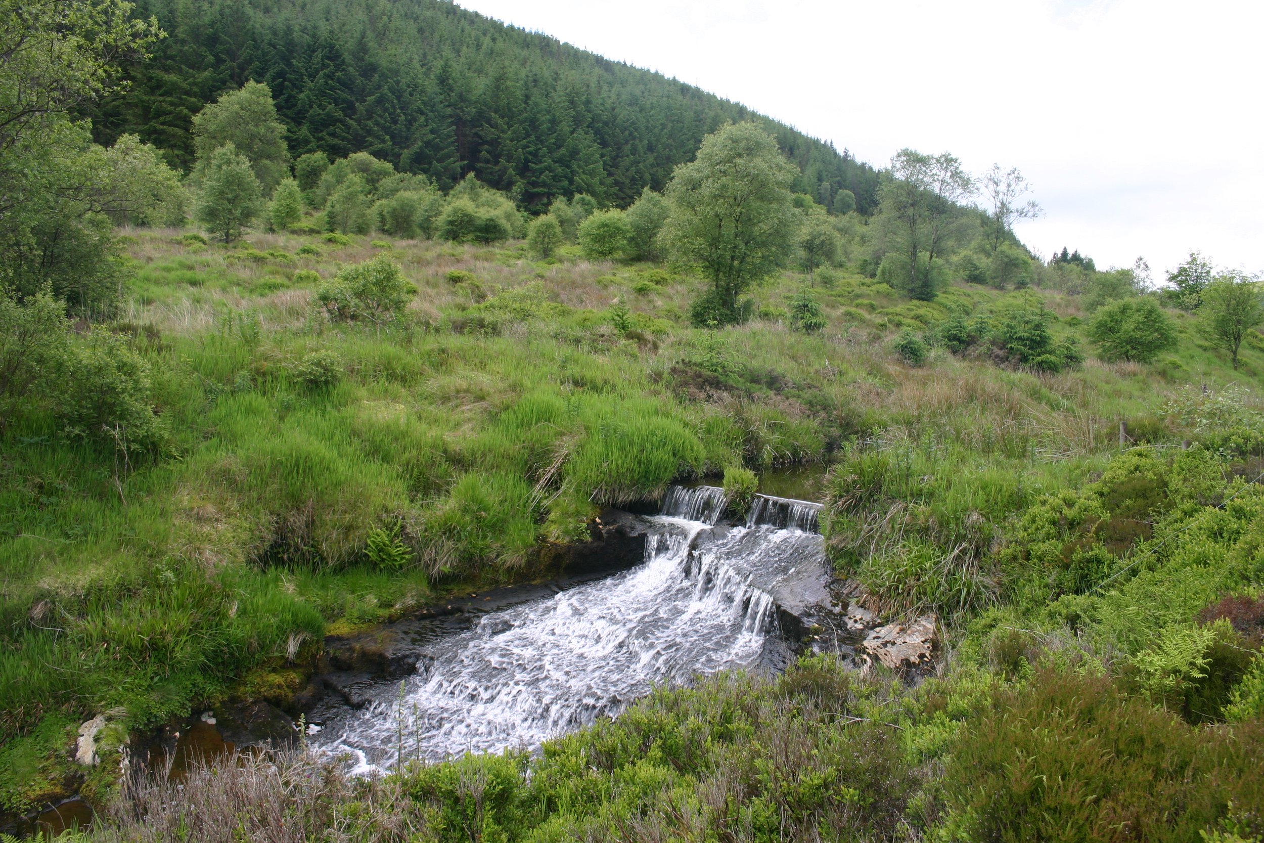
Figures 1 and 2 shows the two catchments where figure 1 (Marc and Robinson, 2007) shows the streams and the sea level elevation which differs between 300-700 metres. The geology and the soil type are similar between the two catchments, even though the soil type varies with topography.
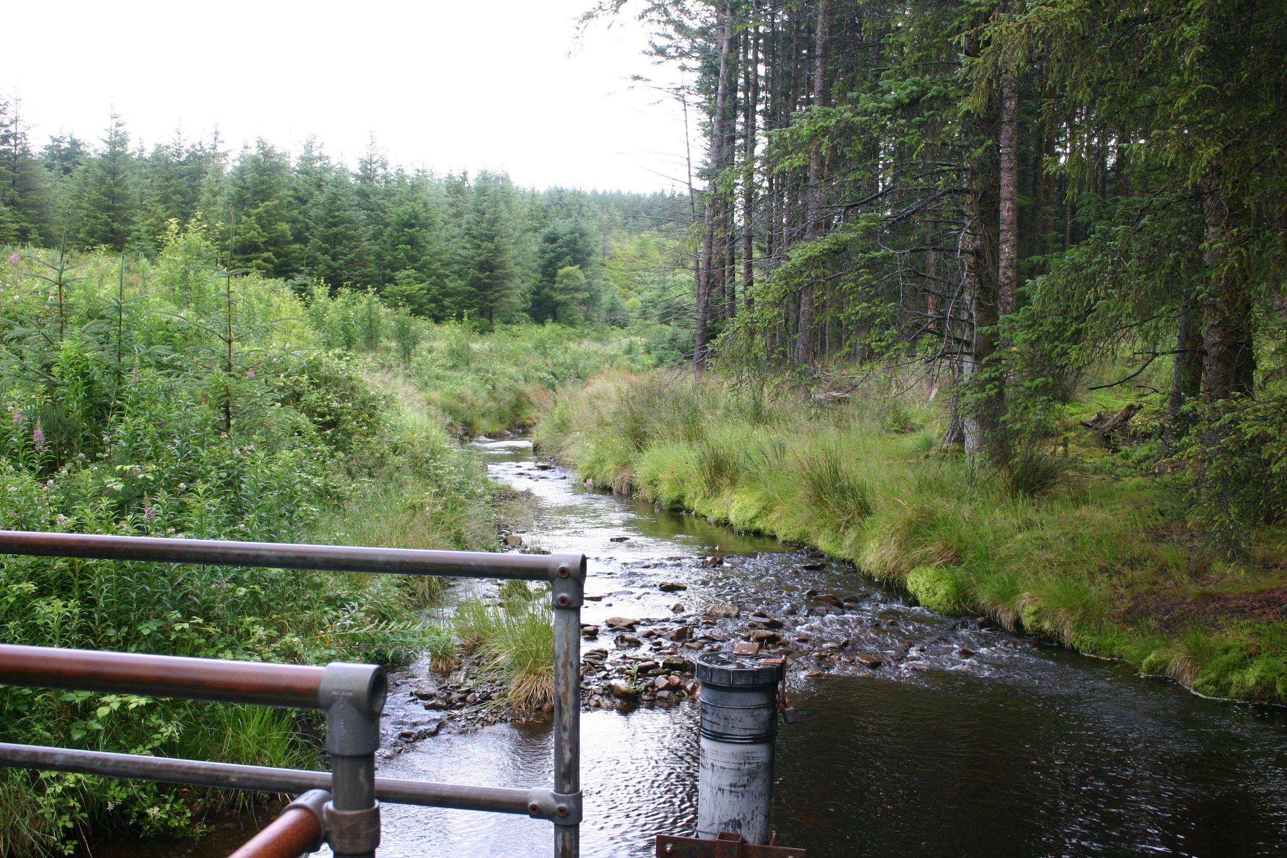
Figure 2 (Knapp et al., 2019) shows both catchments divided into three sub-catchments. The northern catchment which consists of the River Severn (Welsh: Afon Hafren) source and is used as a conifer plantation is 8.7 square kilometres. The main tree species here are sitka and Norway spruce and lodgepole pine. As part of the larger Hafren Forest, conifer planting began in the 1930’s. In 1983, they were harvested so that by 2000 half the forest was felled (Marc and Robinson, 2007). The southern catchment (River Wye source [Welsh: Afon Gwy]) which is used for Welsh mountain sheep grazing is 10.55 square kilometres.
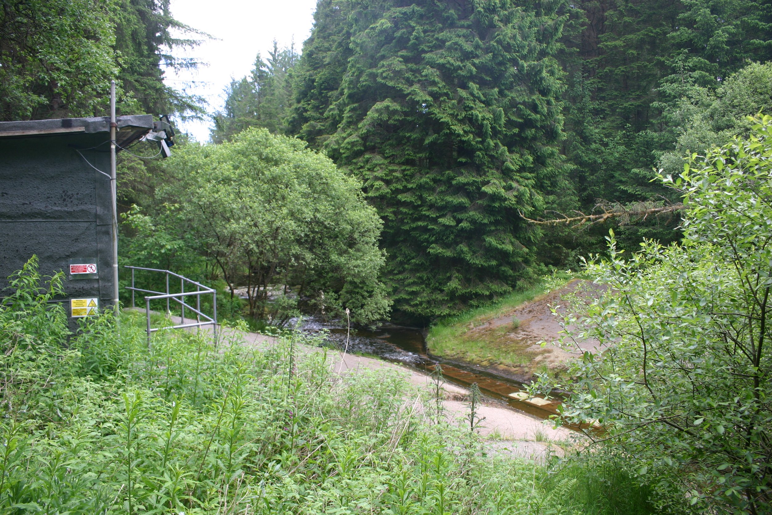
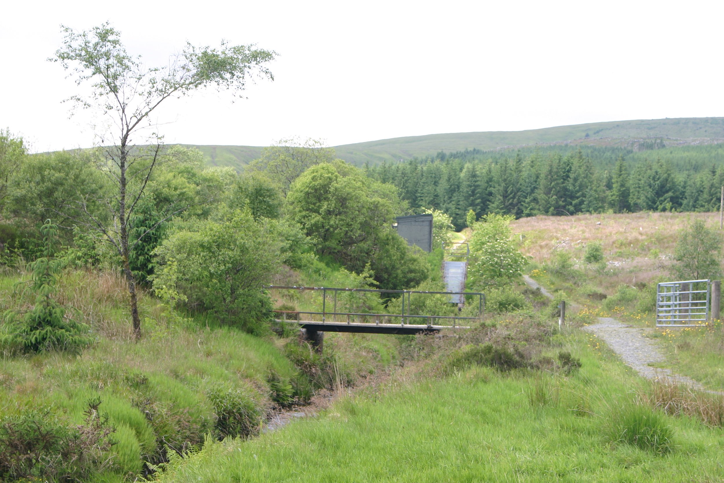
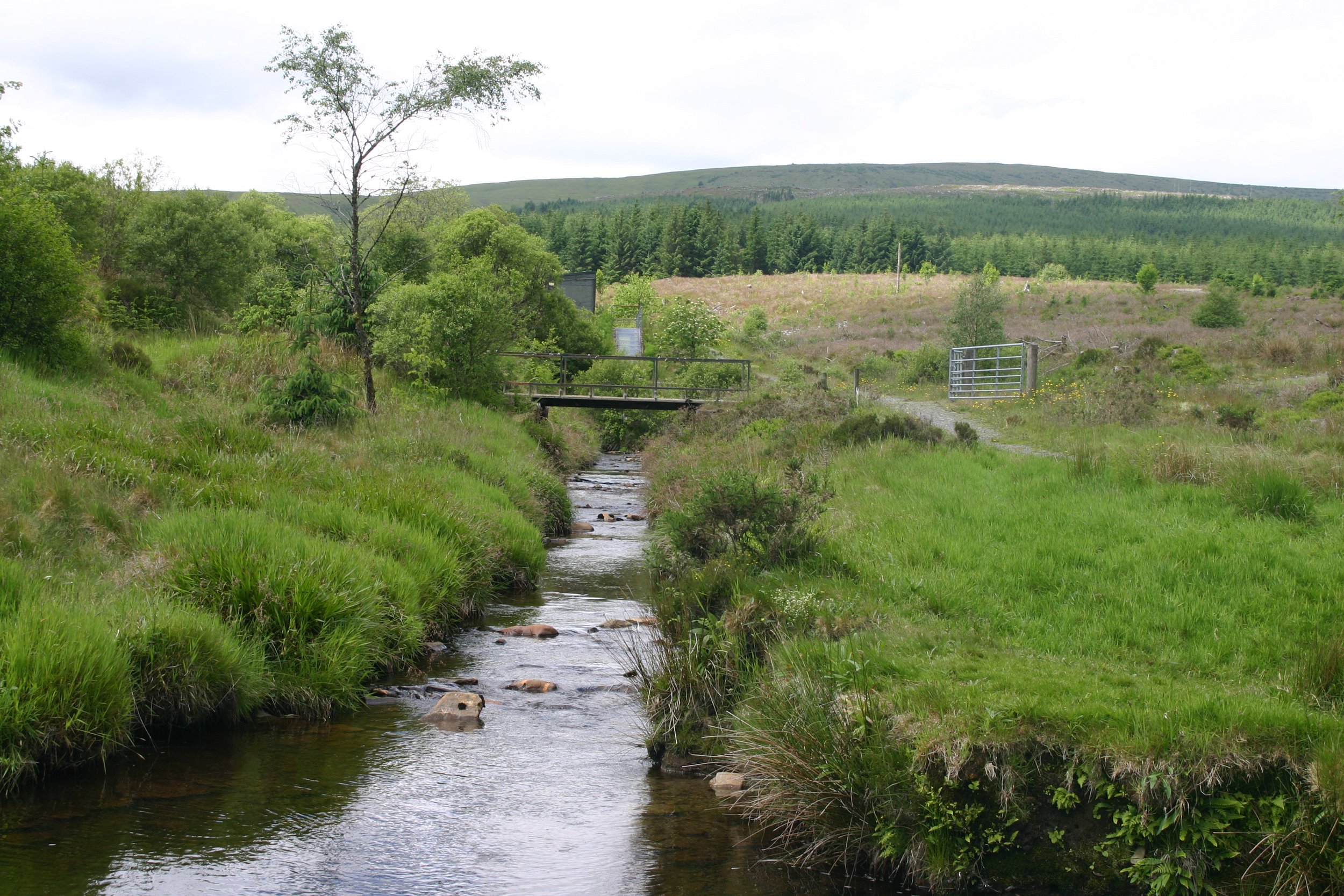
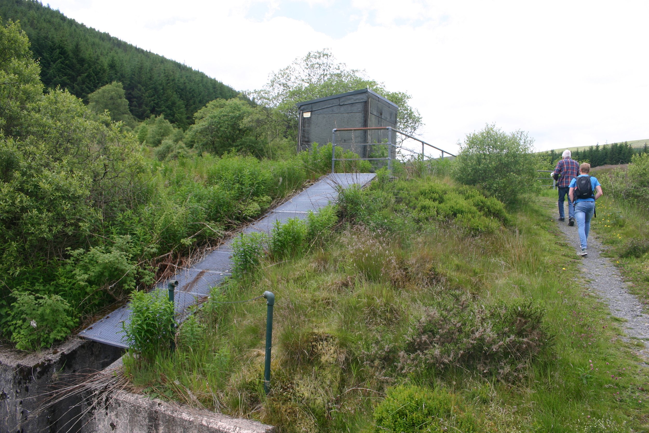
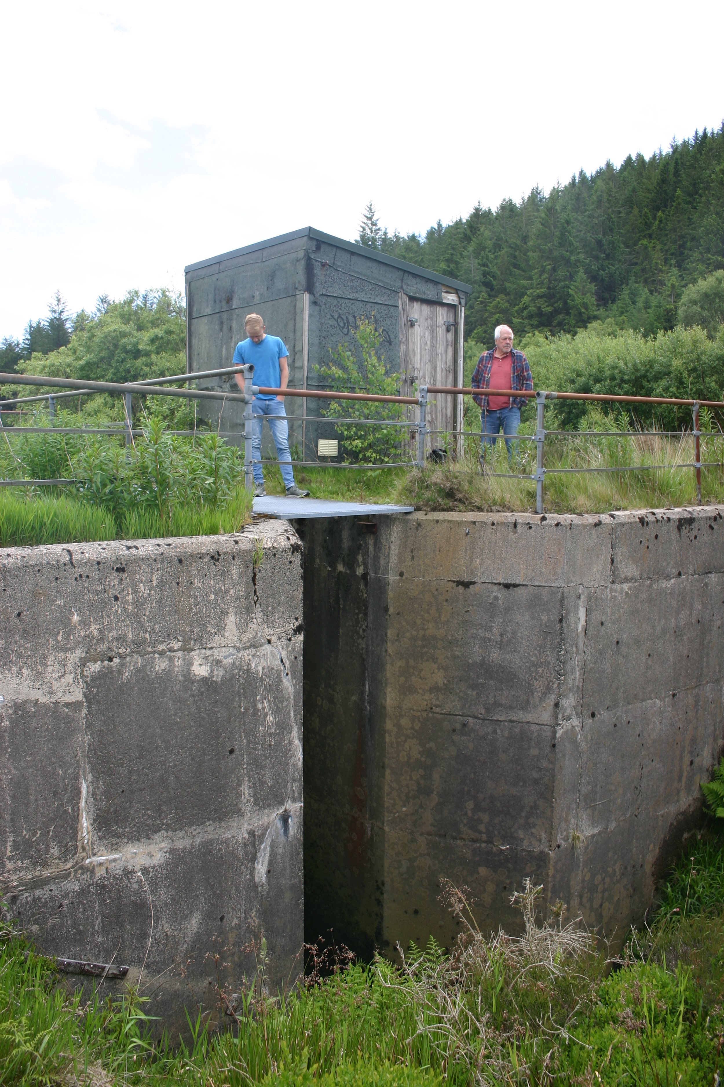
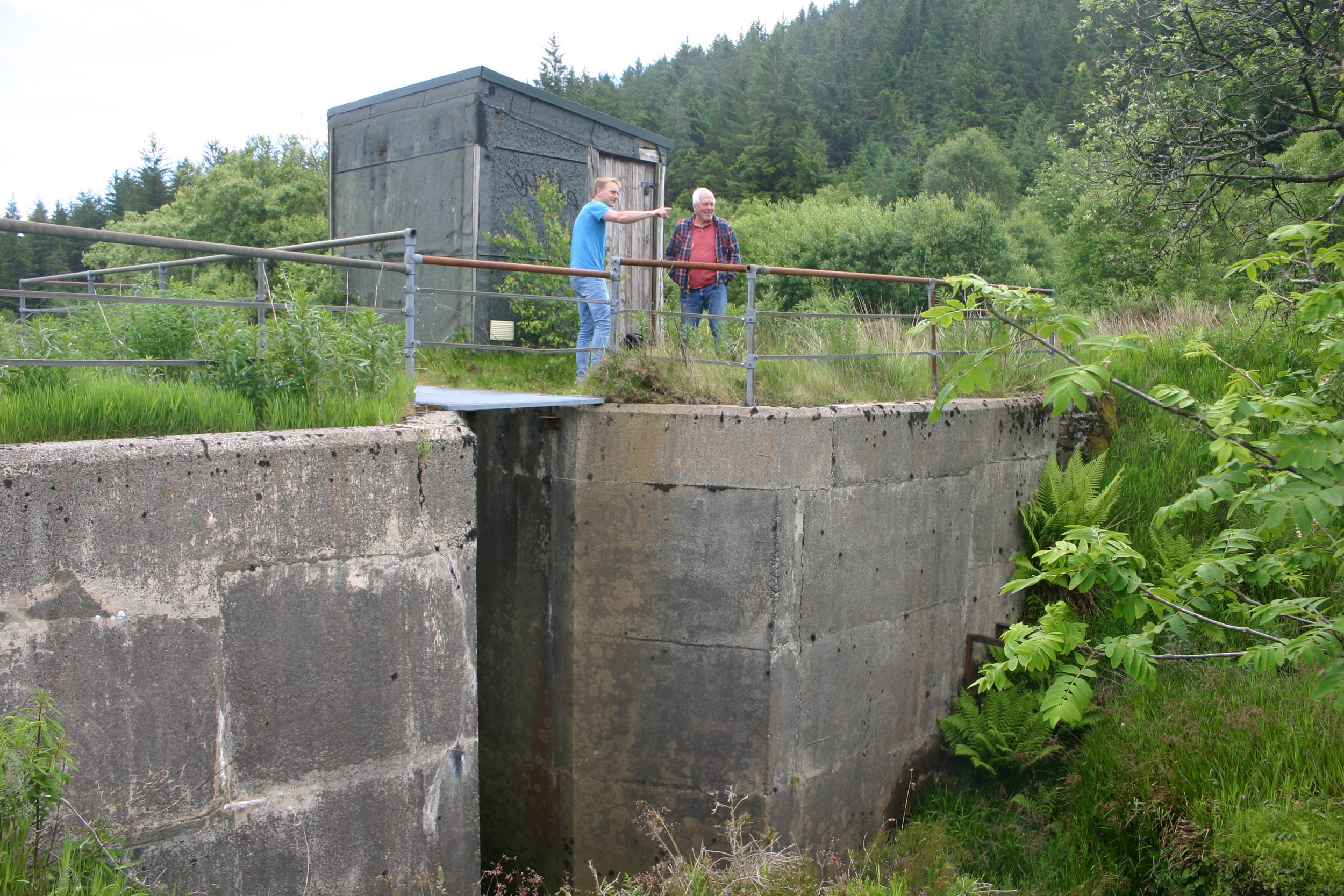
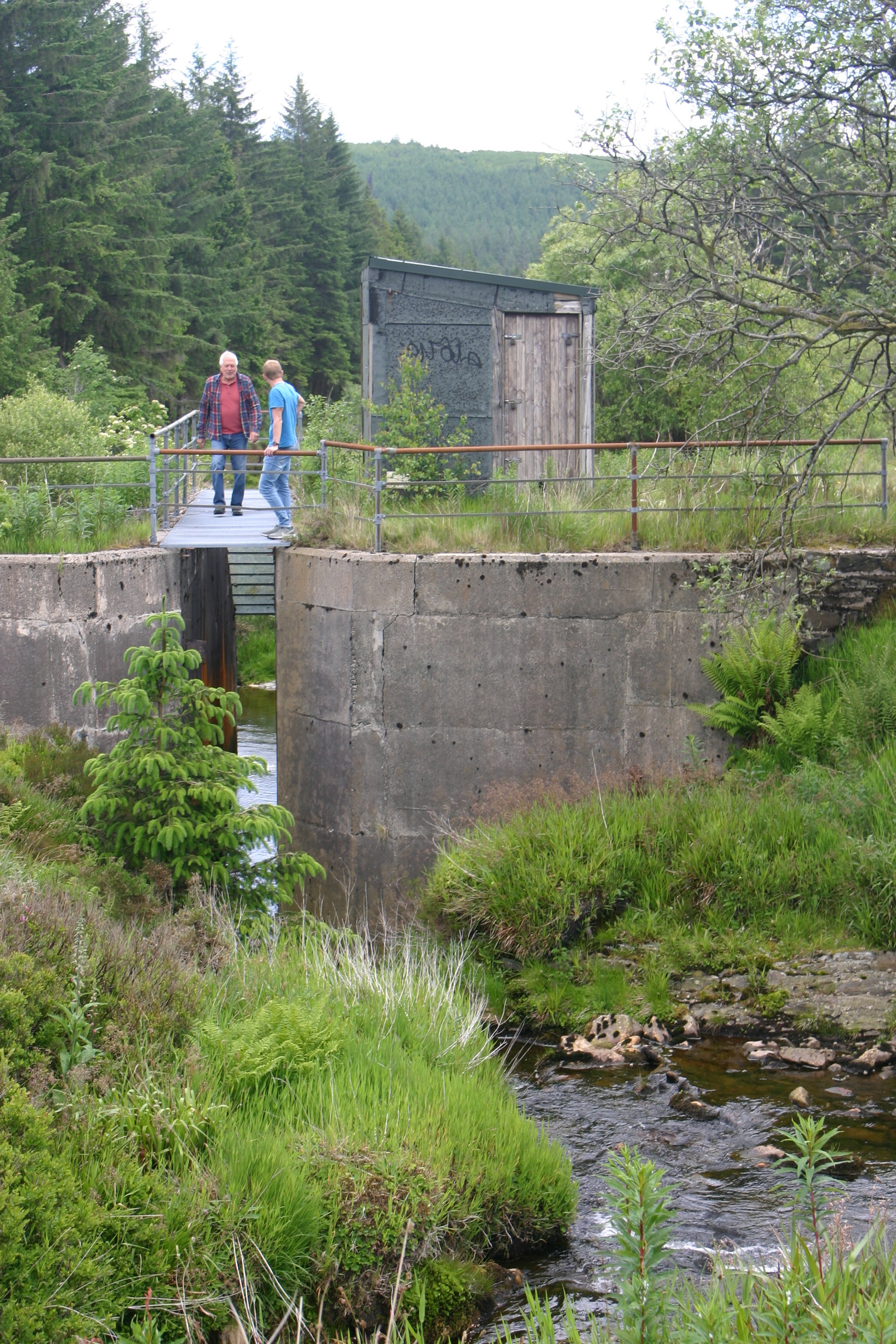
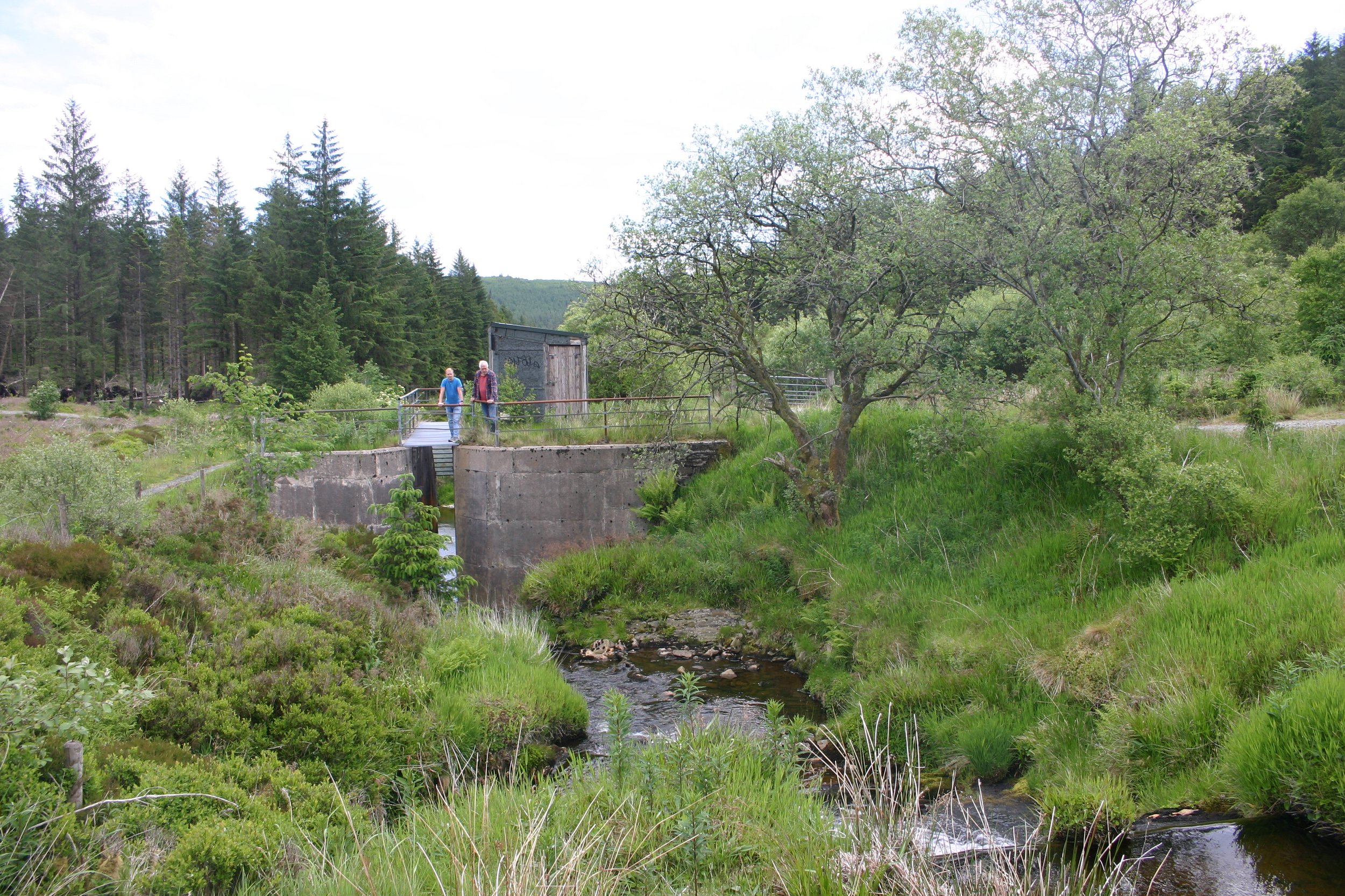
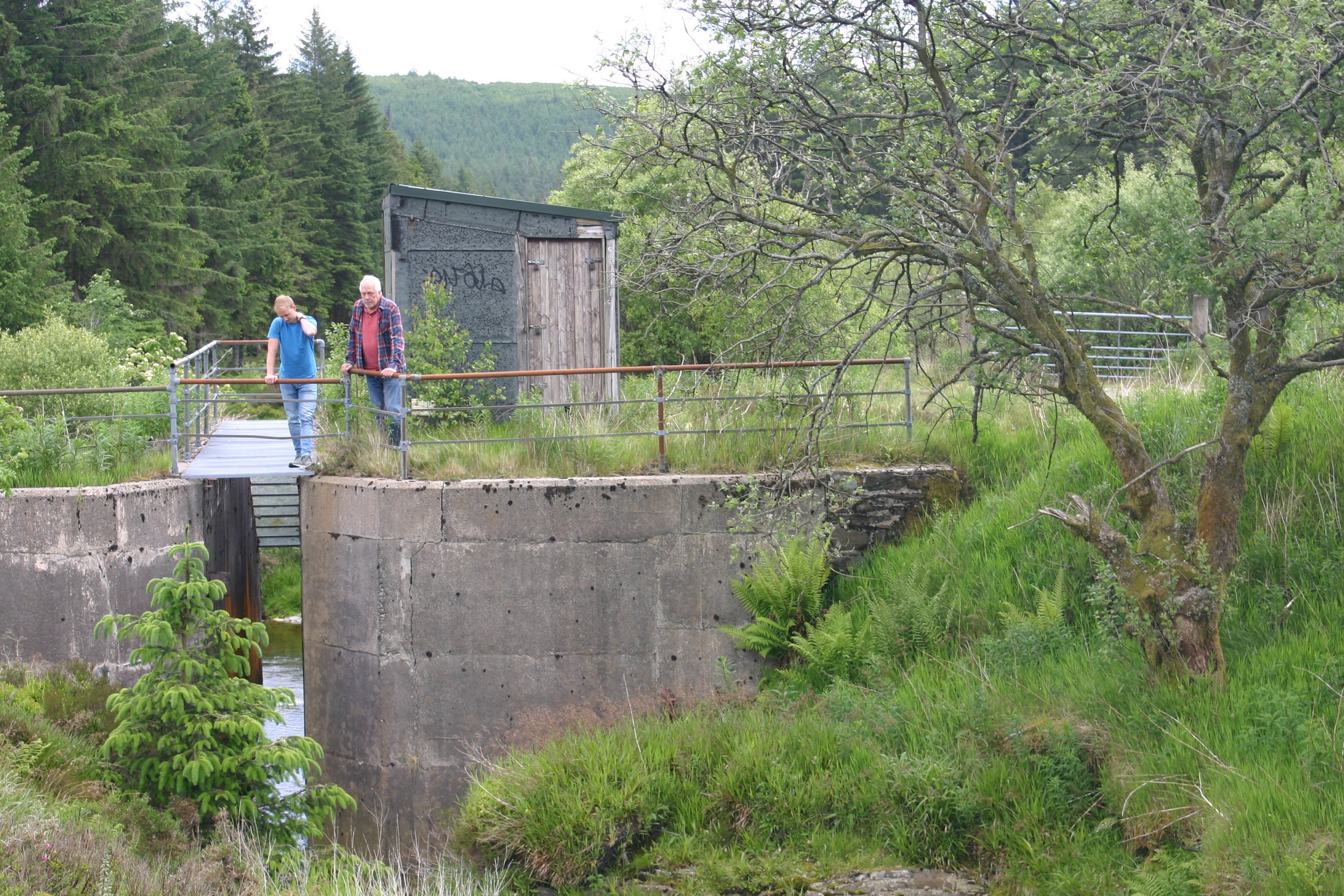
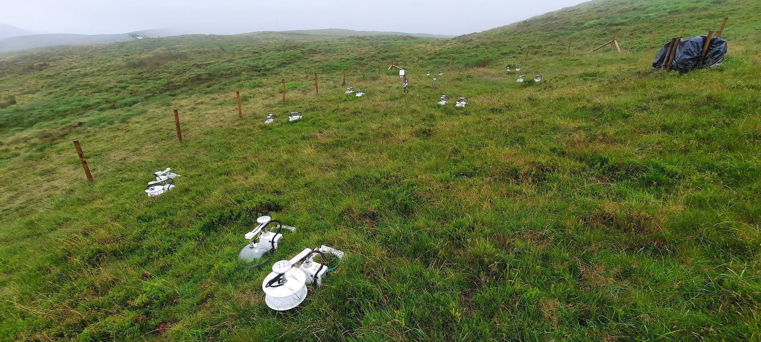
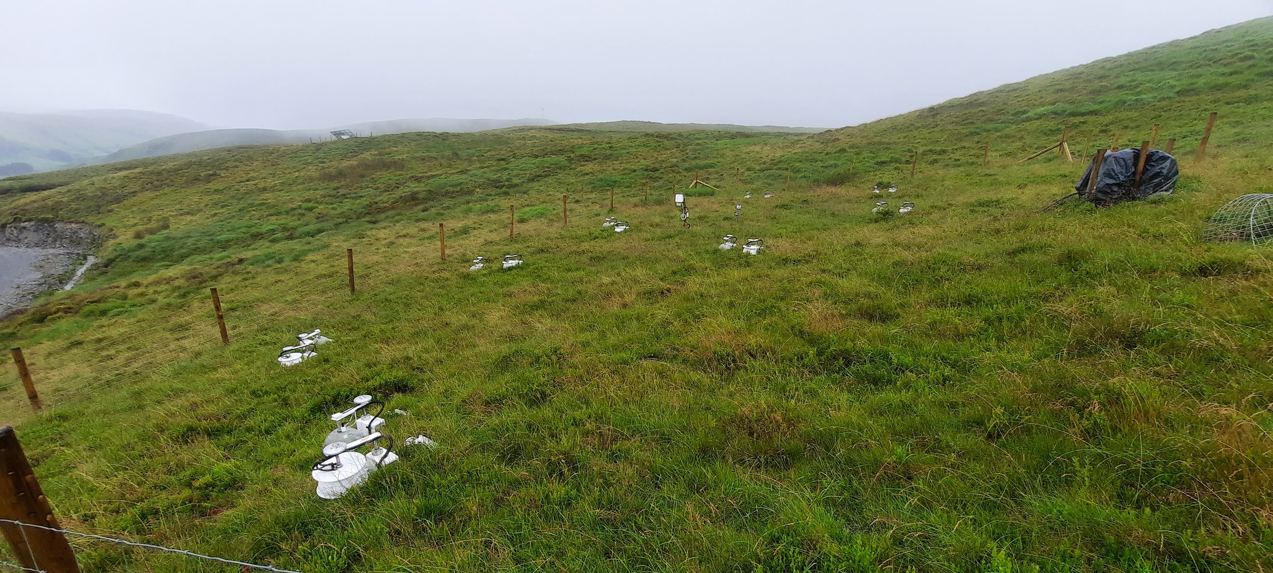
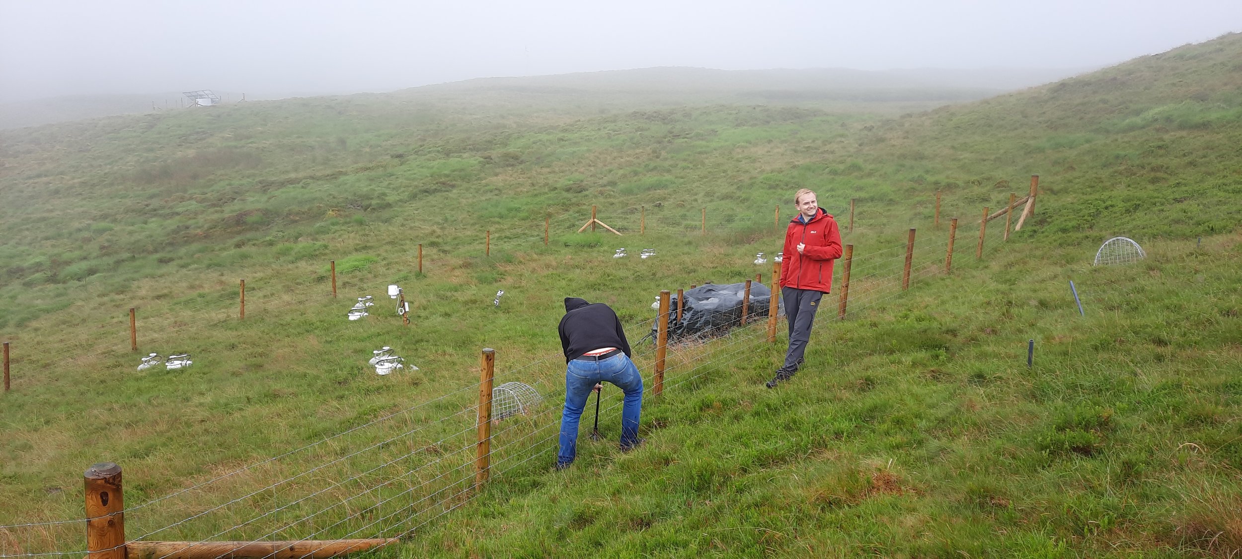
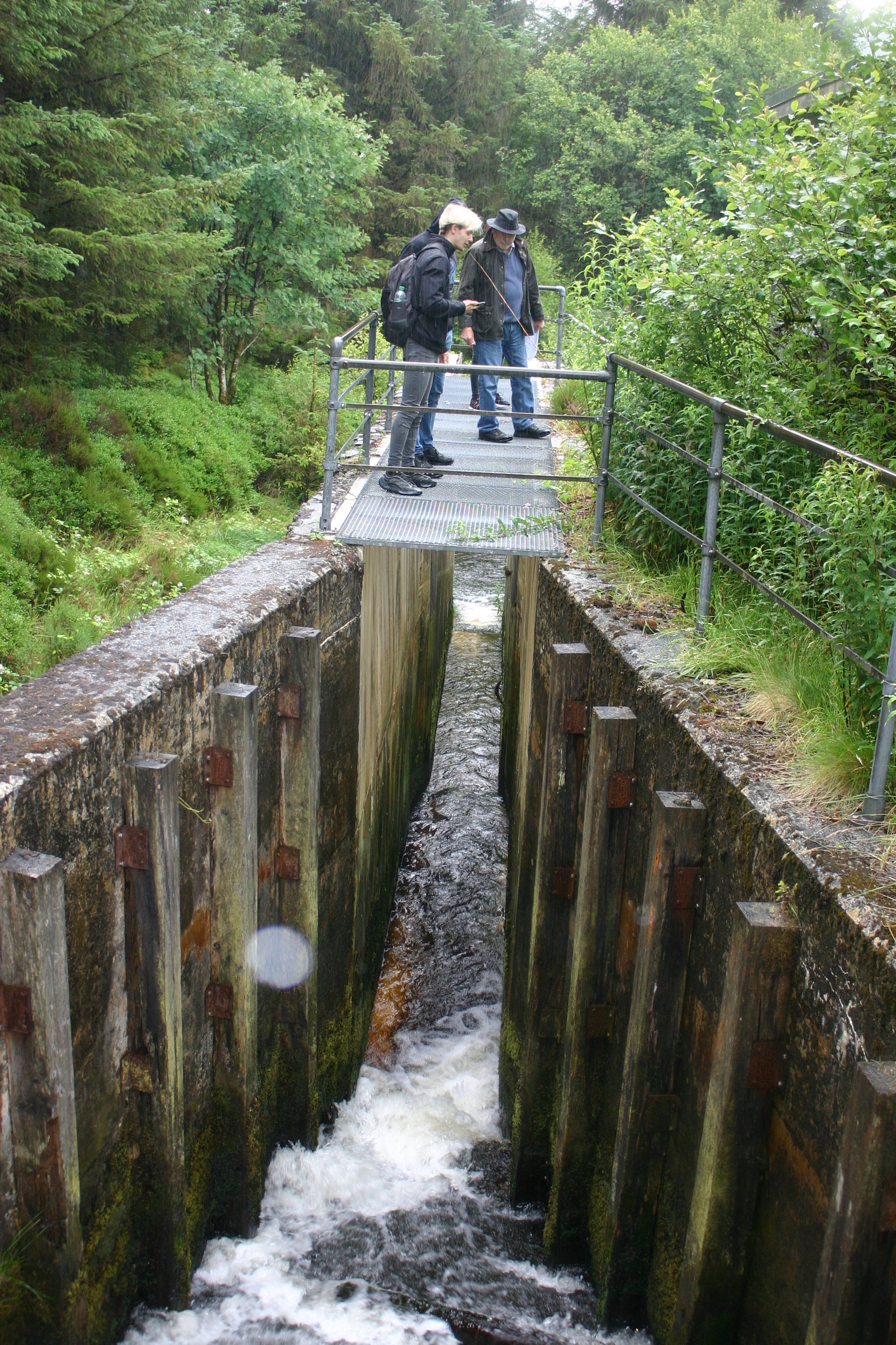
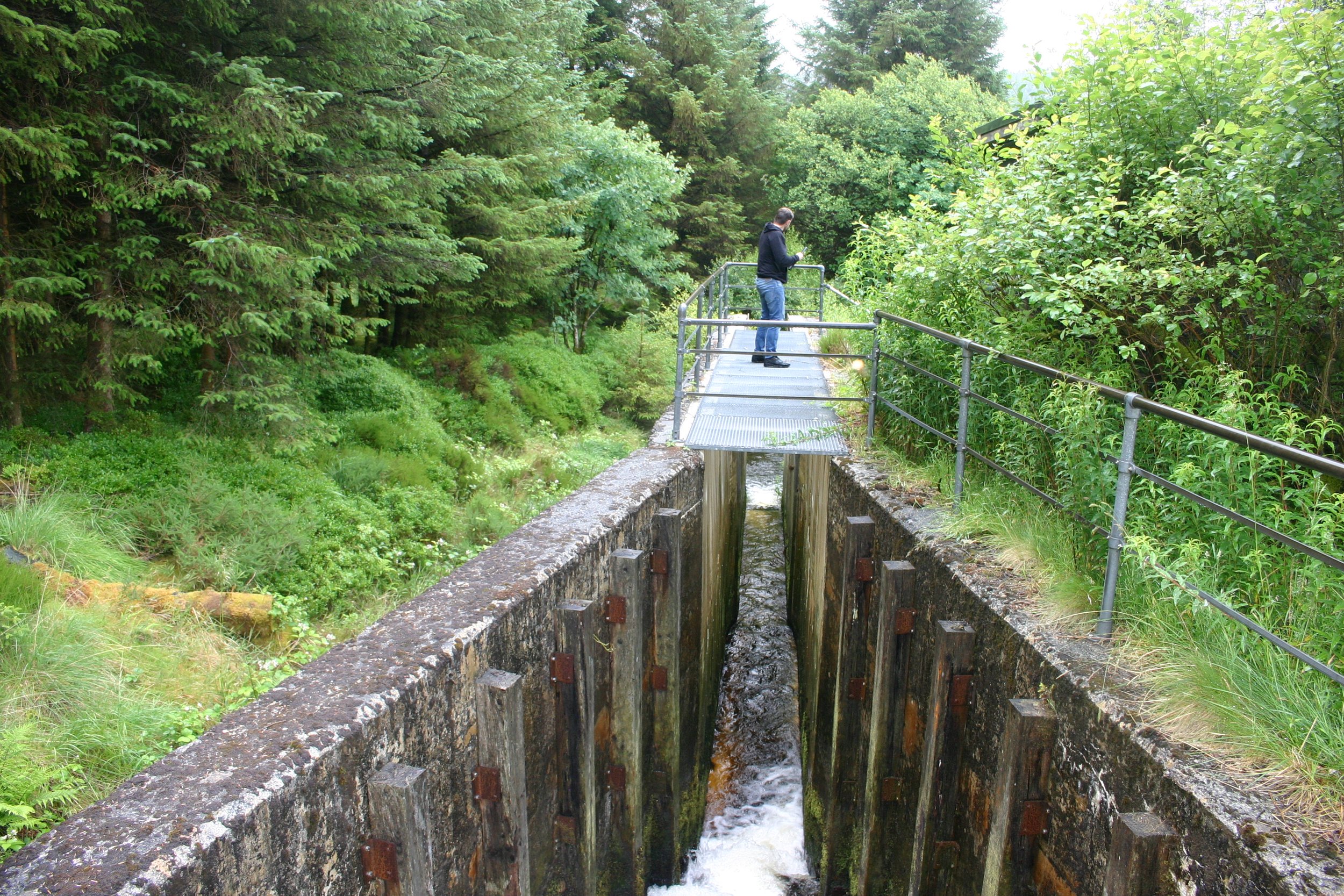
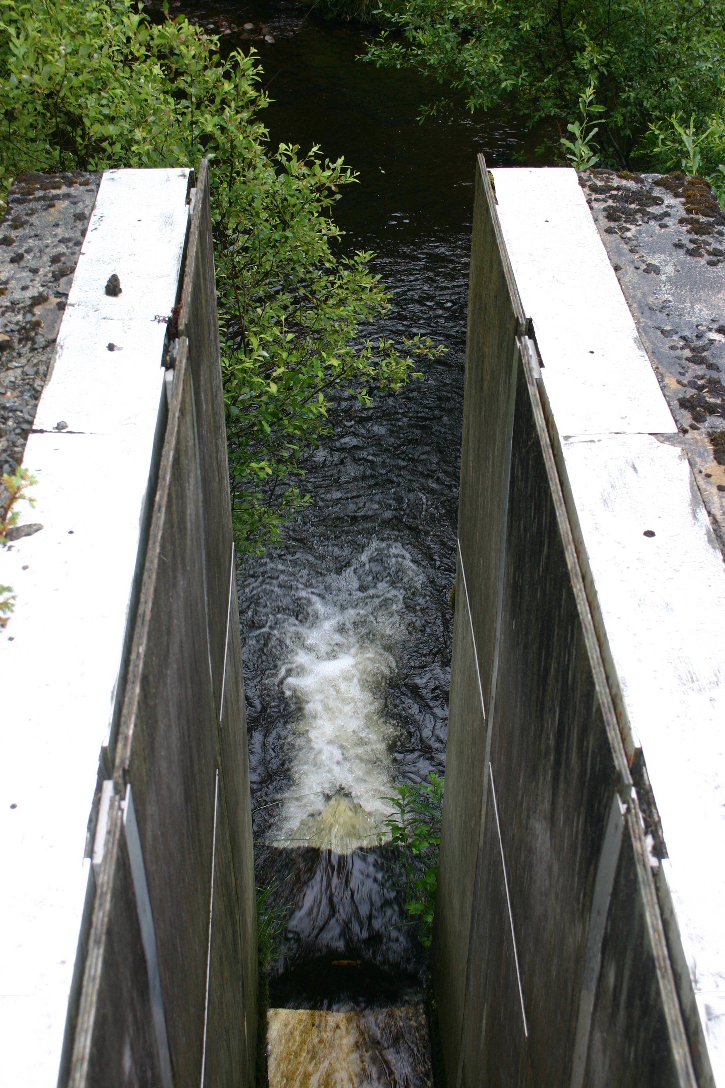
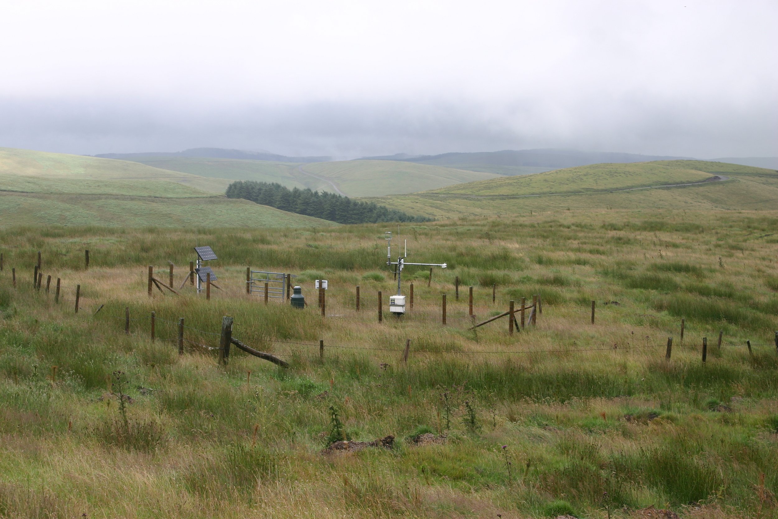
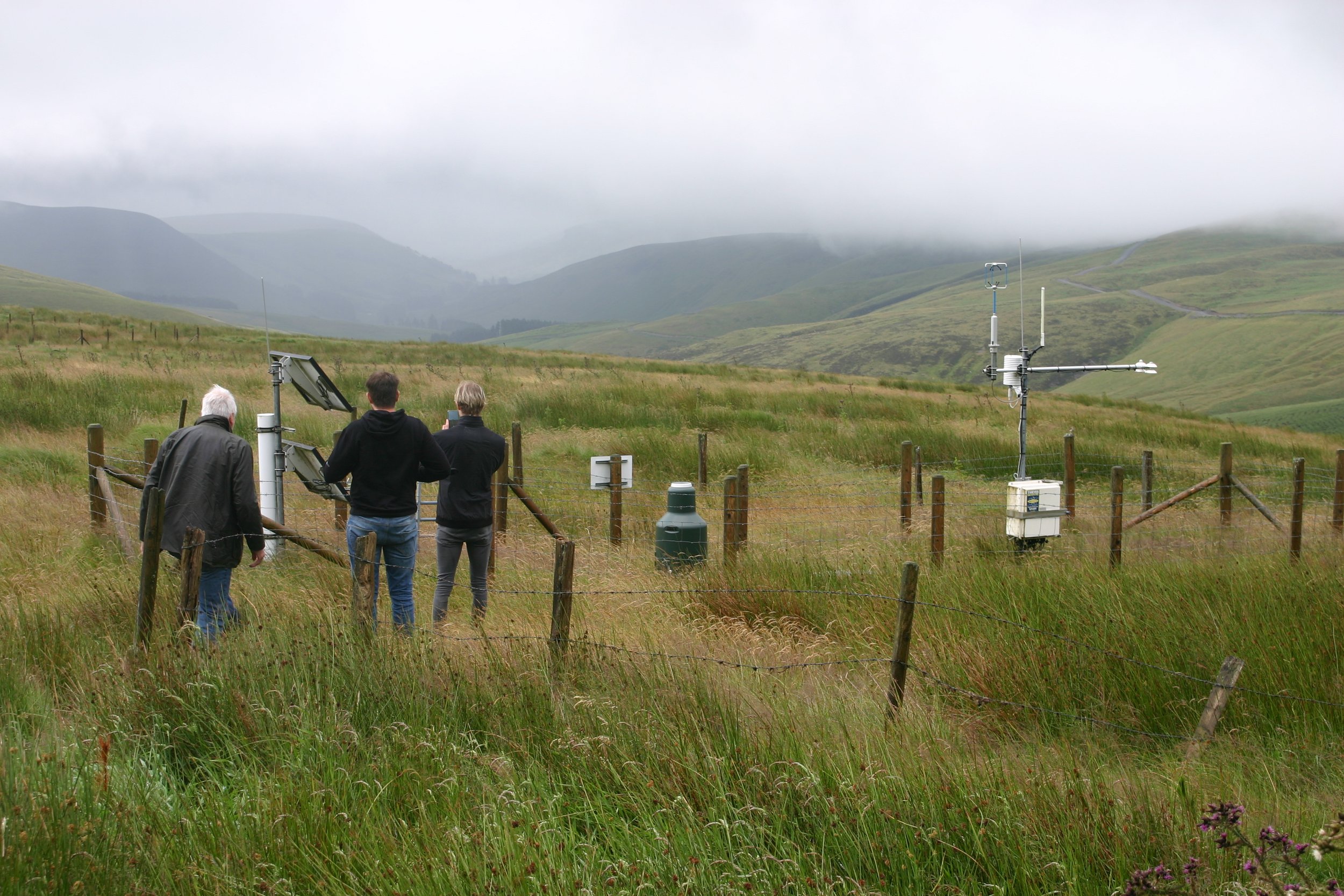
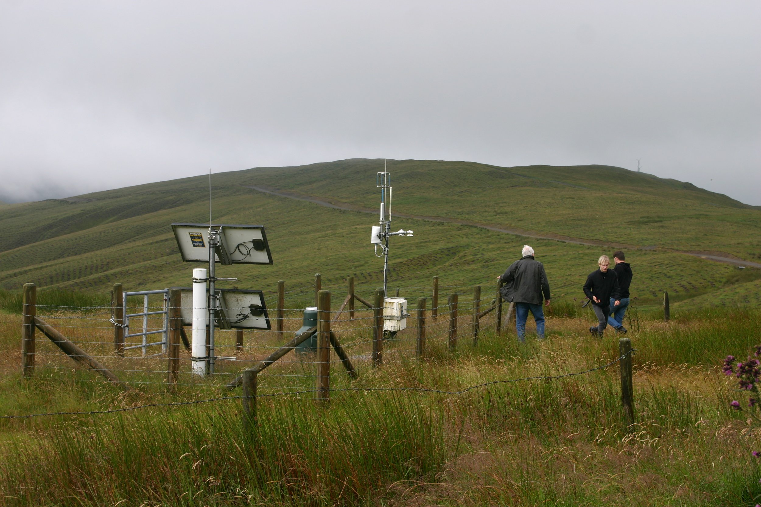
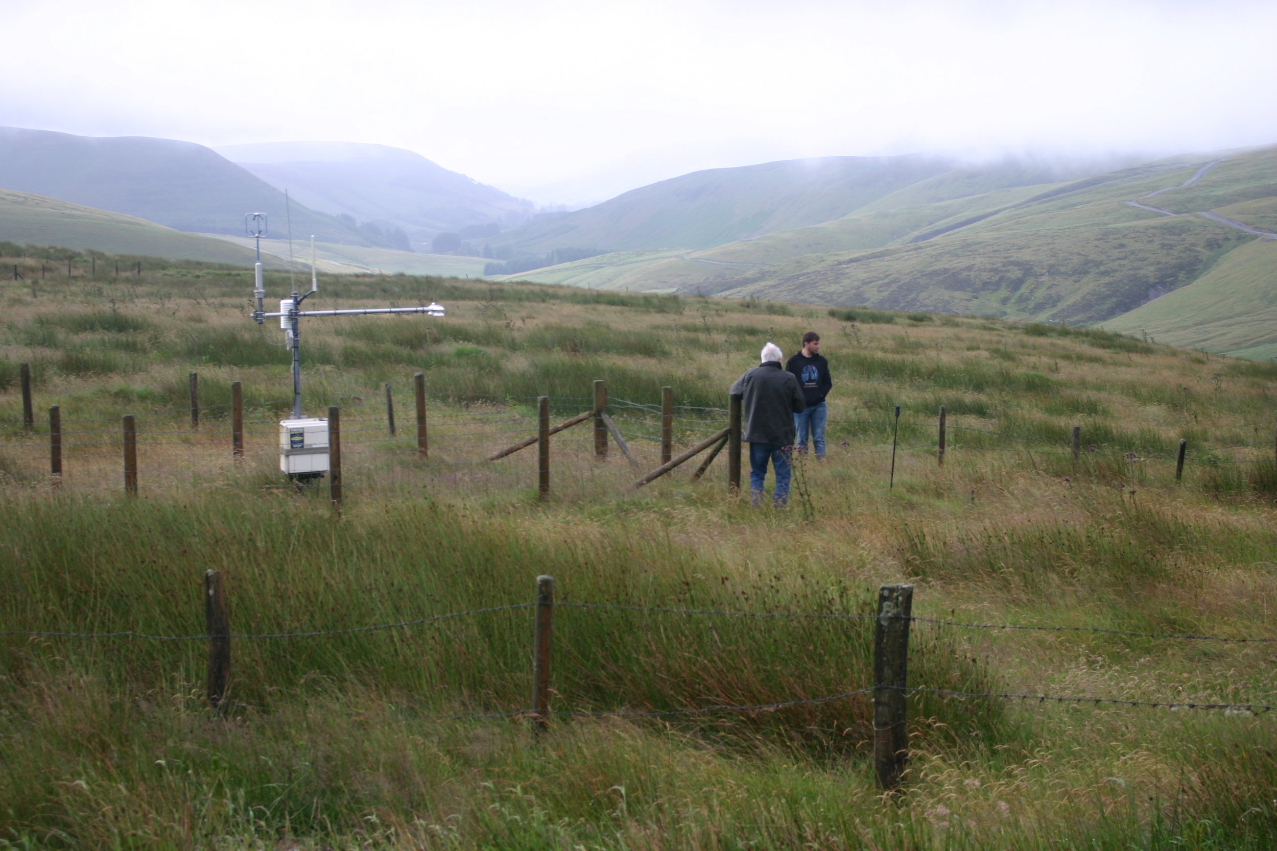
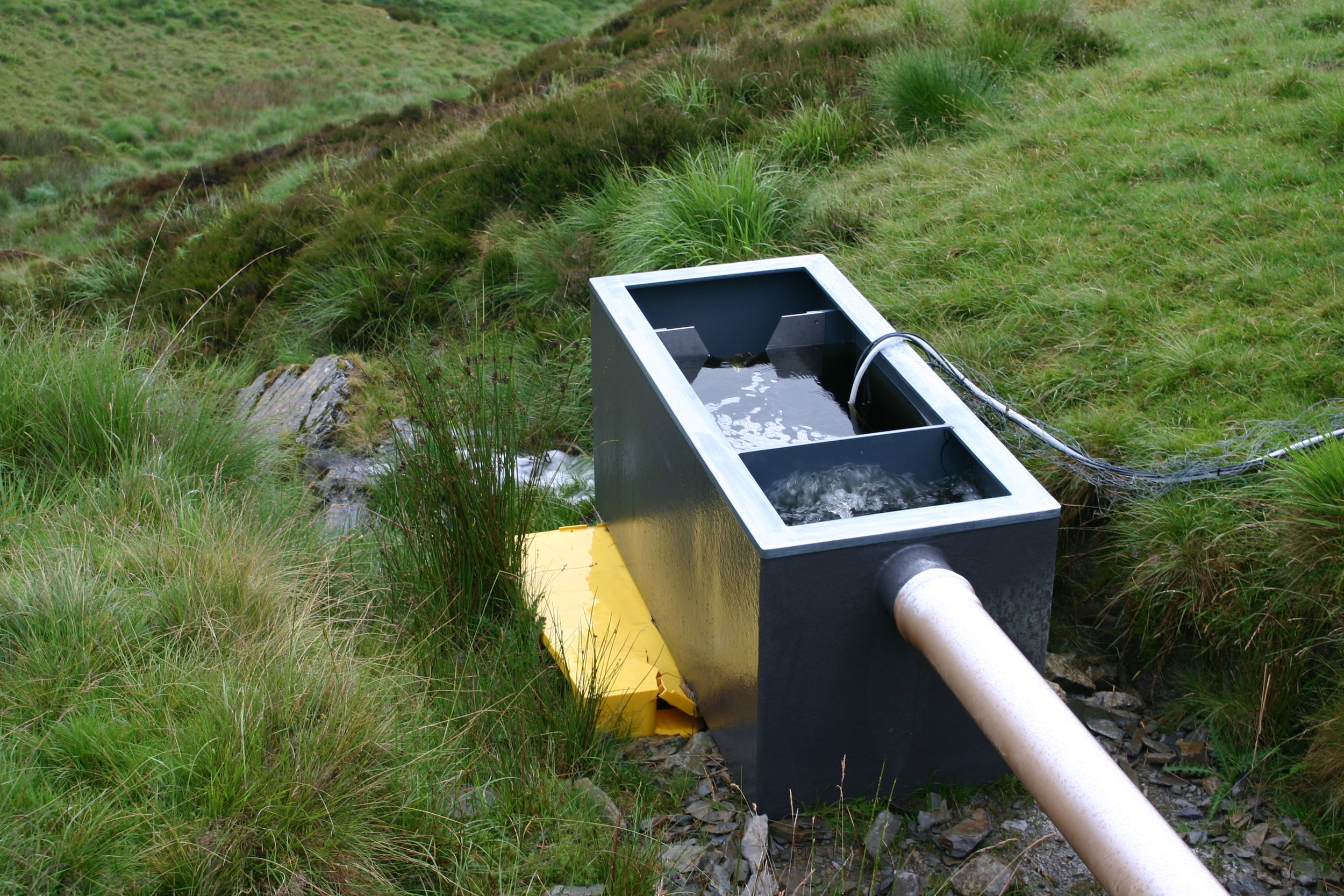
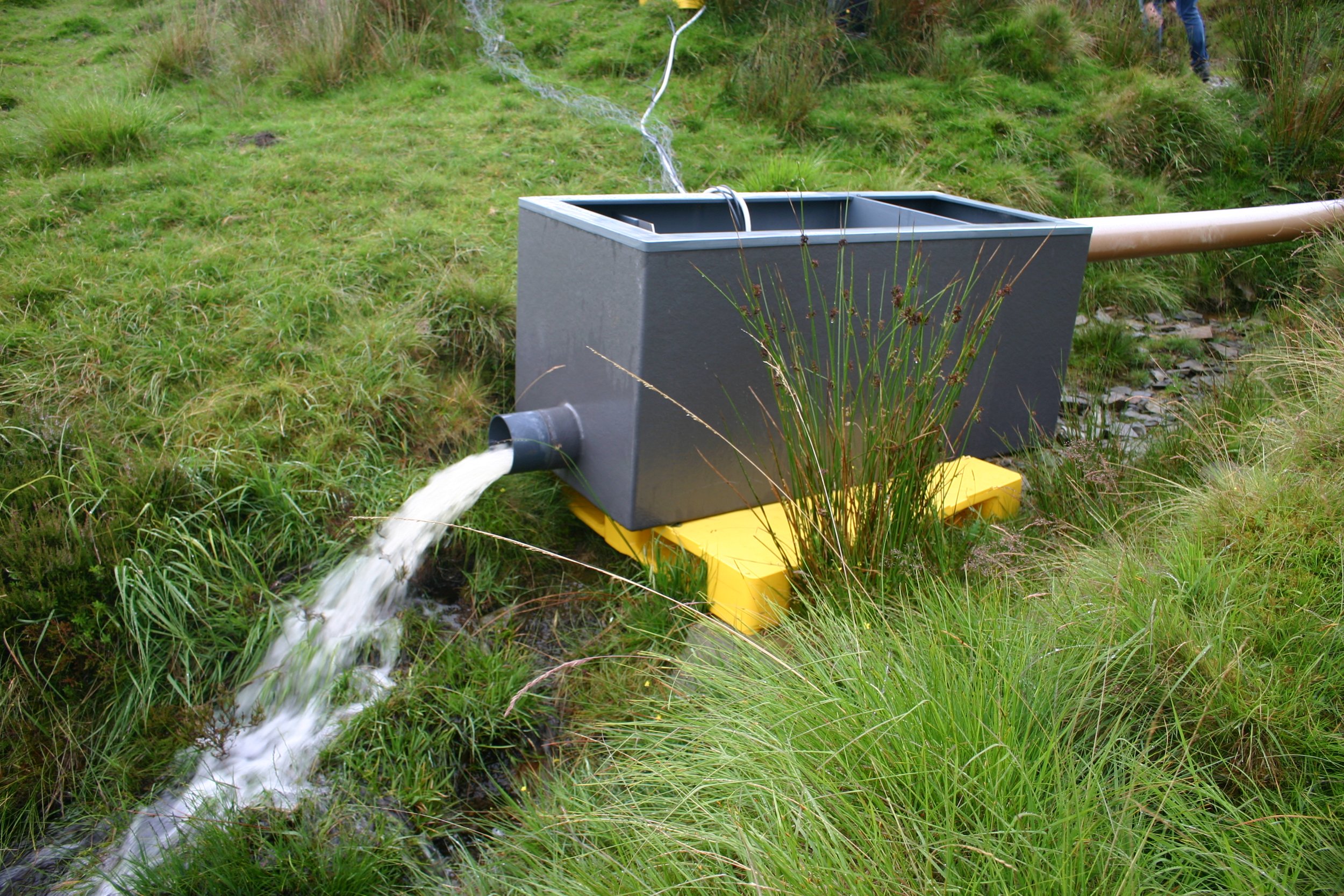
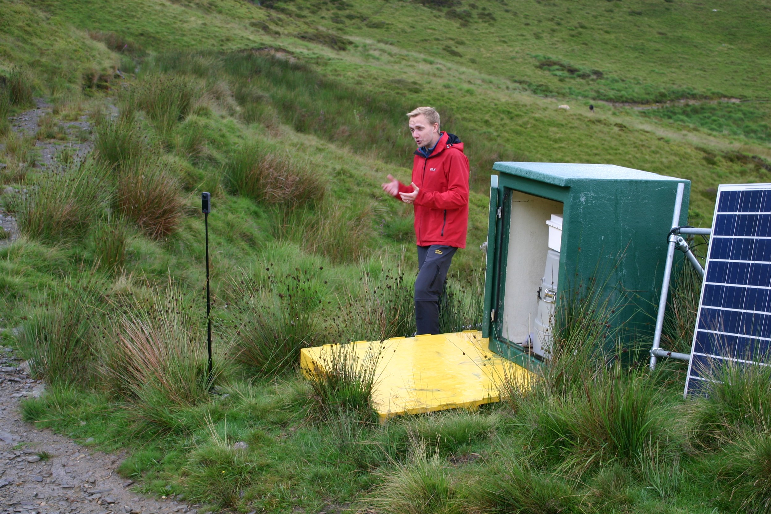
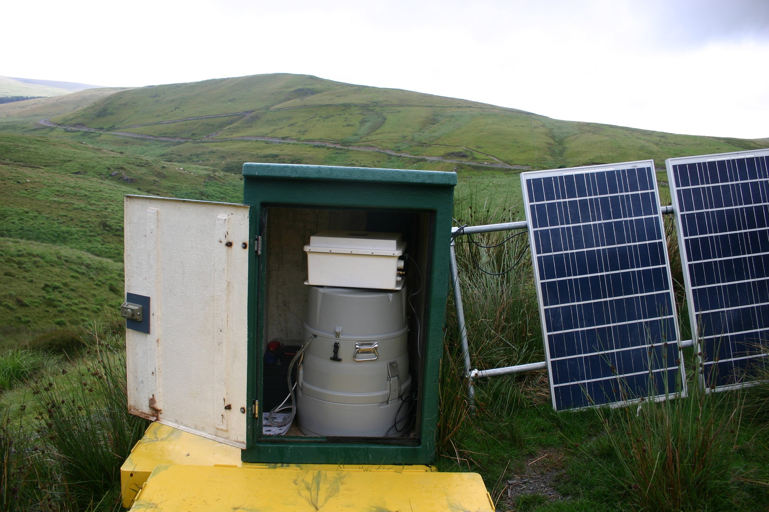
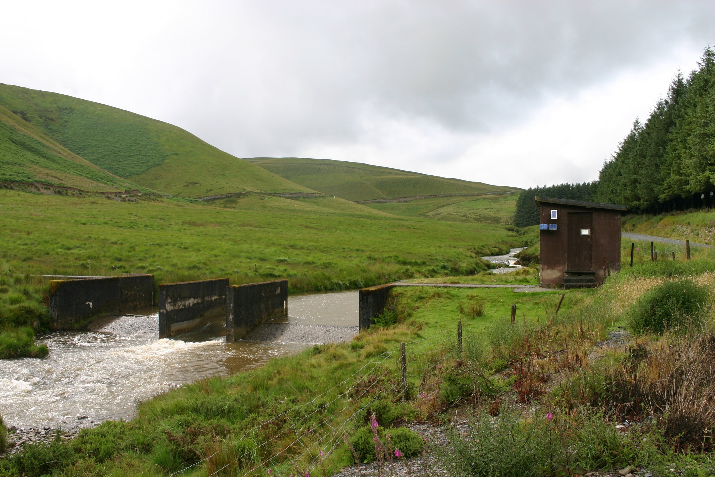
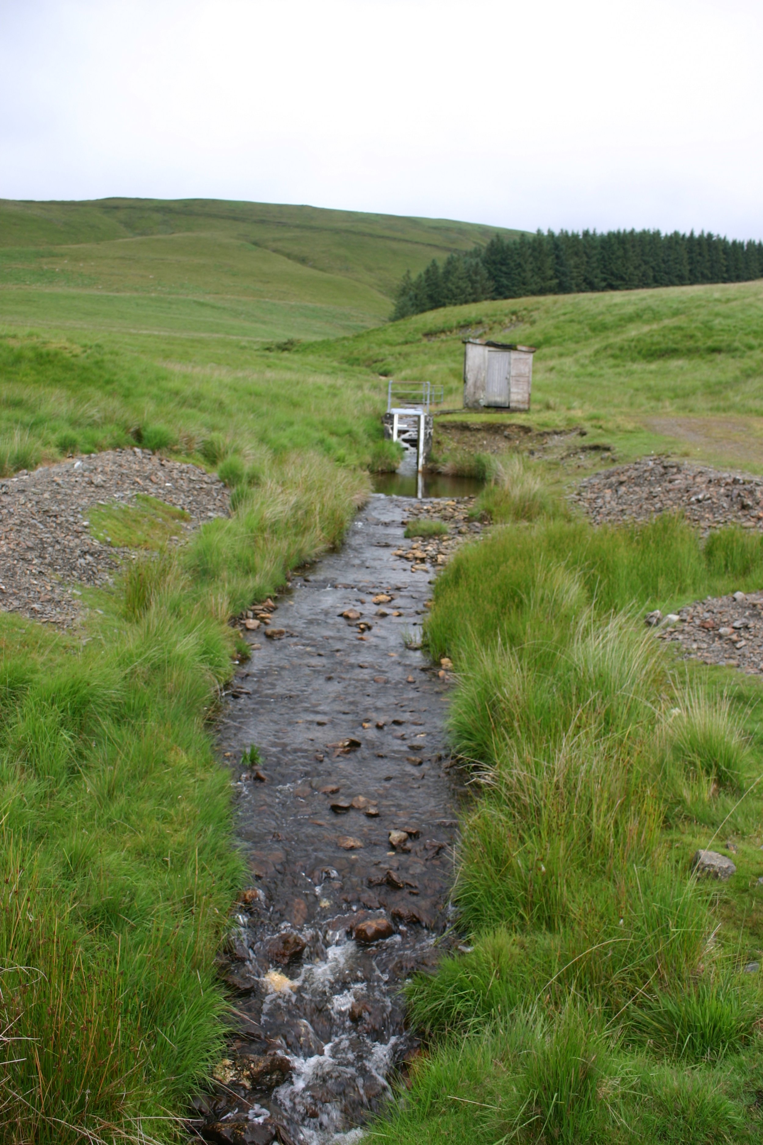
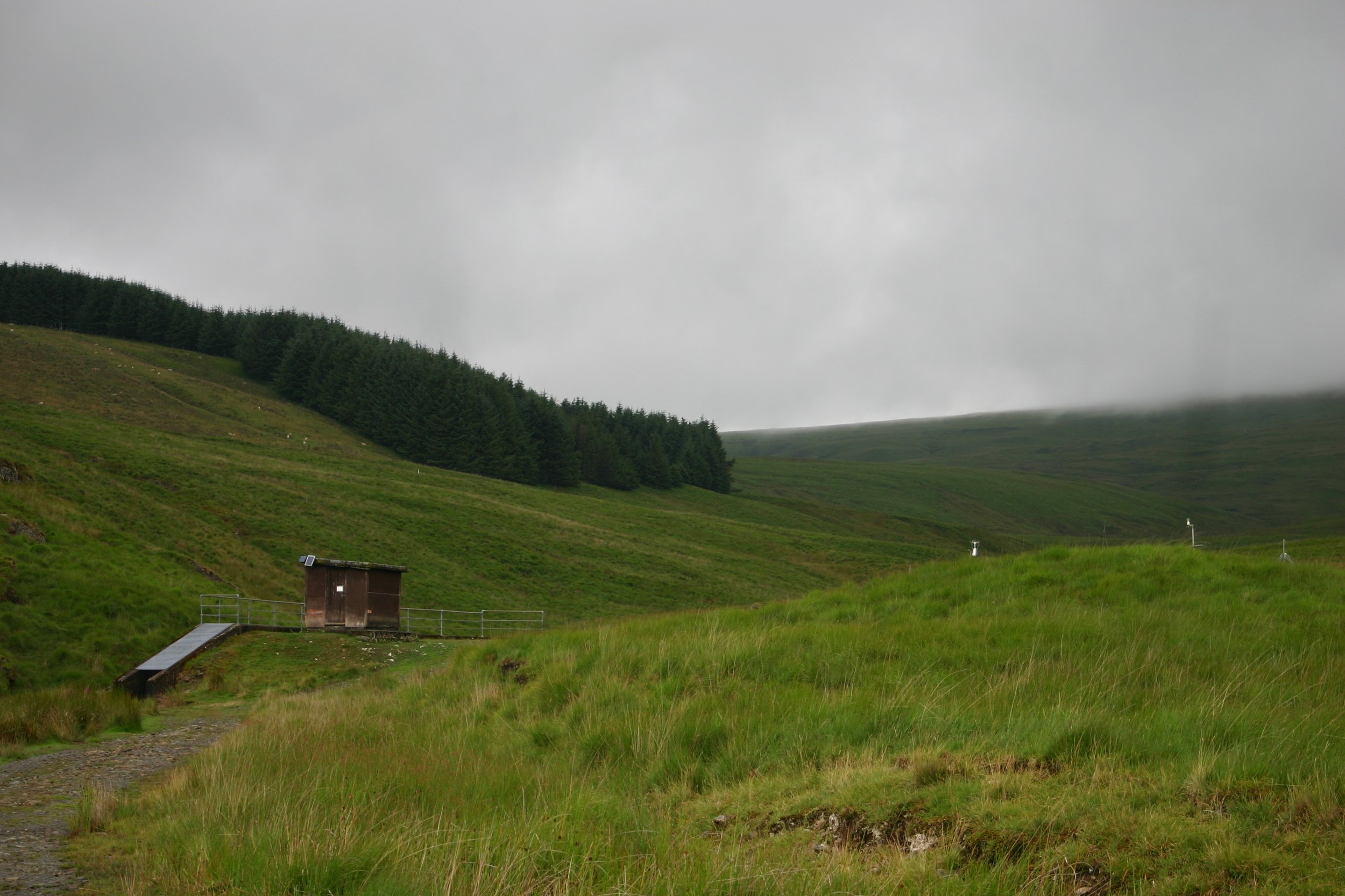
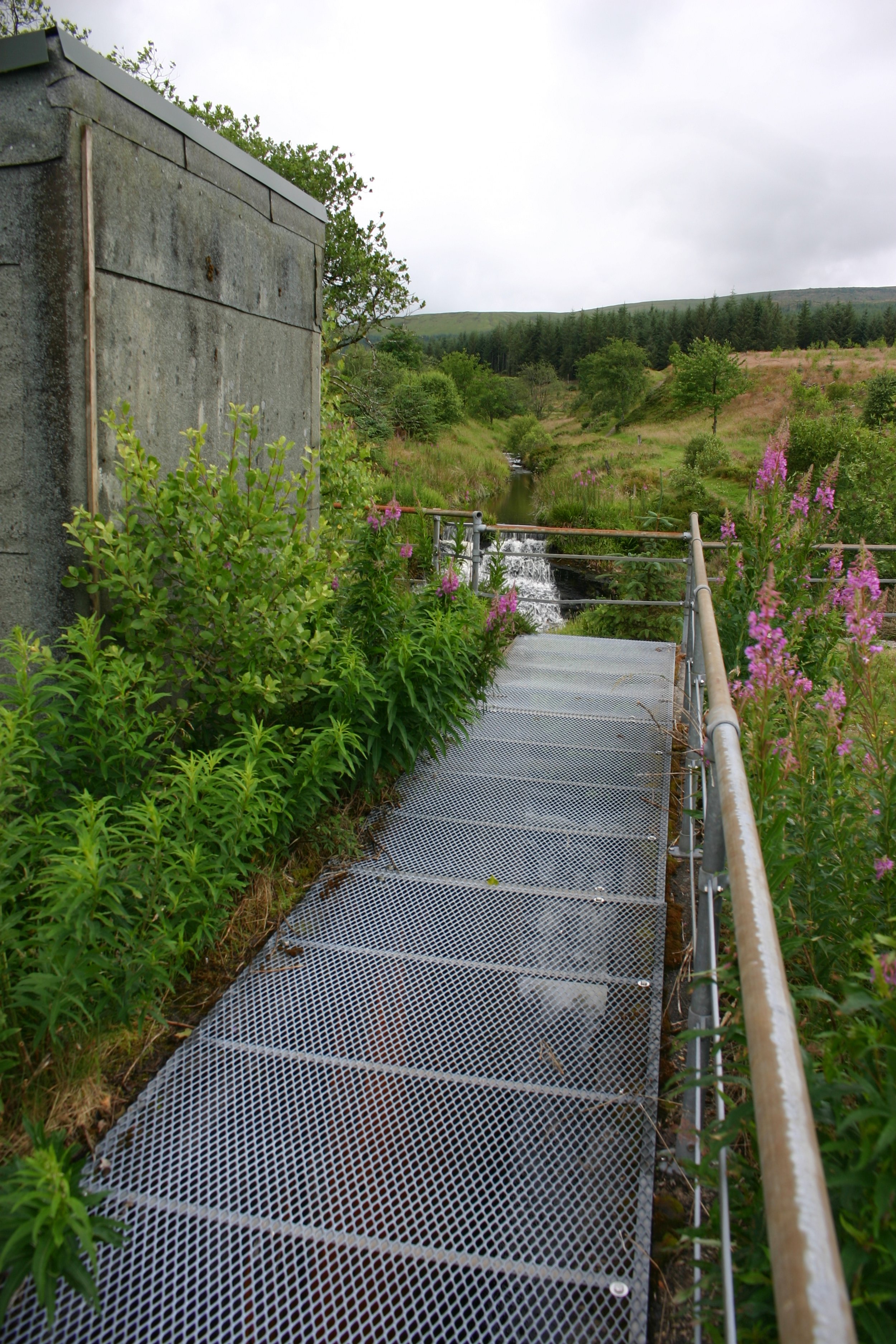
Figure 2 also shows the equipment and instruments placed at various locations. Within each catchment, there are 4 gauging stations where at each gauging station there is flow gauging structure which is supported by a weather station and a rain gauging network. Sediment traps which measure the quantity of sinking organic matter (not shown in figure 2) were also placed in the landscape.
Data which has been collected for decades includes hydrochemical measurements (pH, alkanity, nutrients, major cations, anions, trace metals, and dissolved carbon and nitrogen). Additional data was also collected on stream flow, weathering, element cycling, biogeochemical responses to forest harvesting, acid rain, atmospheric nitrogen deposition, and weather and meteorological data. Altogether, these measurements are used to look for time trends, to understand processes, and the impacts of land-use on water resources, drought and flood flow, and how the chemistry of the stream affects its ecology.
-
Early studies found that upland forests use more water than grassland, and that forests have a limited impact on large floods which has fed into forest management policy.
In 1991, the differences in evaporation rates and water loss between the two catchments was reported (Kirby et al. 1991) which reveals how much water is used. They found that the forest catchment had a higher water loss and evaporation rate. Ultimately, this shows that trees use more water than grassland, and has implications for water yield. This was presented to the Government and the Forestry Commission (Calder, 1996; Forestry Commission, 2004).
Robinson and Dupreyat (2005) conducted soil and water measurements, and compared them between the two catchments which gives an indication of water flow. By looking at the water flow after a storm event both before and after harvesting the forested catchment, Robinson and Dupreyat (2005) found that there was no evidence that forests had any impact on large floods following a storm.
Tree fellings over short time periods can negatively affect drinking water quality
Hydrochemical measurements provided a general picture of water quality variability over different time scales. But they have also shown that tree felling within a 2-year period deteriorated the water quality.
An experimental felling took place as a joint research project between the Forestry Commission and Forest Enterprise from 1986-1987 (Neal, 2004). The tree felling resulted in an increase in nitrate and potassium concentrations which negatively affects drinking water quality (Neal et al., 2011). It was thus recommended that tree felling be phased over several years to minimise this contamination. Phasing it over several years has become standard practice, and was applied to further felling in the forest which took place over 25 years (Neal, 2004).
Modelling studies show an increase in dissolved organic carbon which affects drinking water quality, and exacerbates climate change effects.
Dissolved organic carbon (DOC) is important to ecosystem functioning. However, the increasing release of DOC in droughted peatlands (which is triggered by sulphate deposition) poses an environmental problem: DOC reacts with water treatments to contaminate drinking water, and releases carbon dioxide.
Lee et al (2020) modelled DOC release using data obtained from the small peat blanket by the River Severn. They used the INCA-C model and included the biochemical process that enables sulphate to expedite the process of DOC release. They found that DOC is likely to continue to increase up until 2049, but then will stabilise in the future (2070-2099).
Can applying basalt rock dust mitigate climate change?
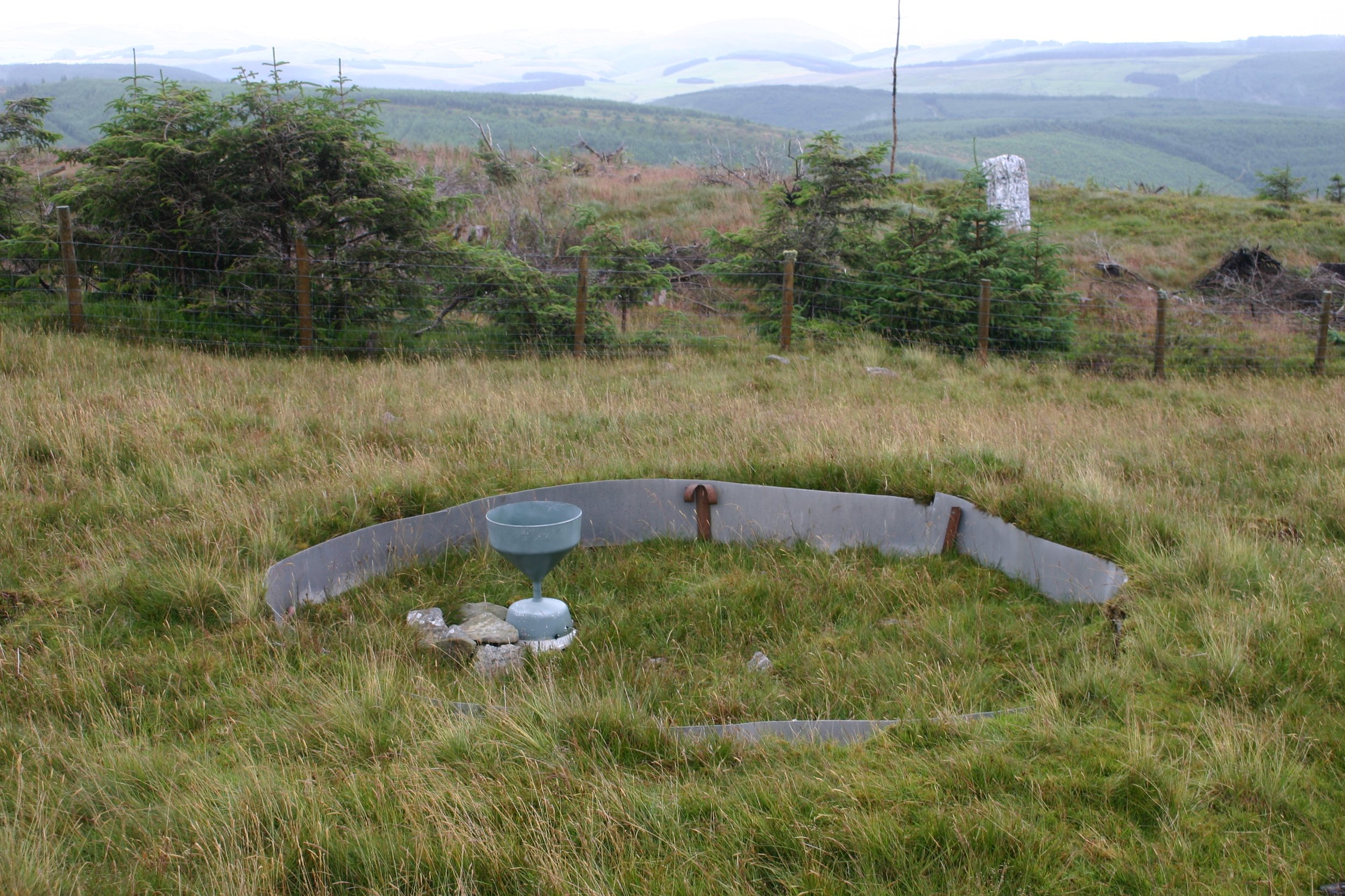
Basalt rock dust (silicate) absorbs greenhouse gasses through a biochemical process which increases with a larger surface area. The Plynlimon Research Catchments is one out of three sites hosting this experiment (Enhanced Rock Weathering Project) to see if applying rock dust can increase the carbon dioxide capture of upland grassland. Basalt rock dust is applied annually, and the water, soil, vegetation and greenhouse gas measurements are monitored. To find out more about this project, see Greenhouse Gas Removal via Enhanced Rock Weathering.
-
Would you like to see experiments like this continue to have impact? Then consider donating to the ECT.
